This special page shows all uploaded files.
| Date | Name | Thumbnail | Size | User | Description | Versions |
|---|---|---|---|---|---|---|
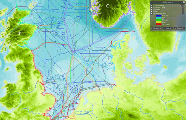
| 11:36, 10 May 2022 | Layer Shipping Risk.png (file) |  |
605 KB | Magali | 1 | |
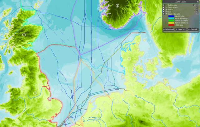
| 11:28, 10 May 2022 | Layer Cargo Intensity.png (file) |  |
540 KB | Magali | 1 | |
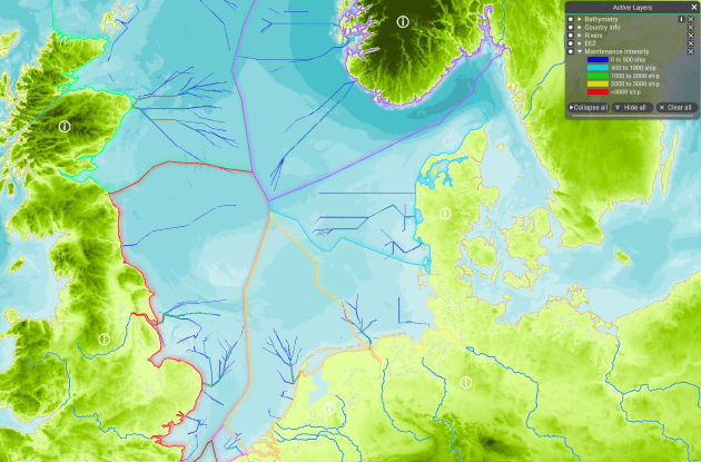
| 11:22, 10 May 2022 | Layer Maintenance Intensity.png (file) |  |
527 KB | Magali | 1 | |
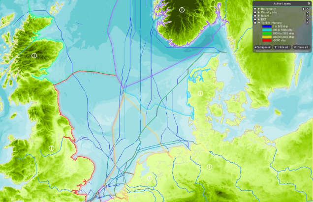
| 11:03, 10 May 2022 | Layer Tanker Intensity.png (file) |  |
535 KB | Magali | 1 | |
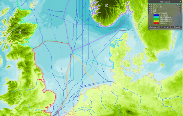
| 10:24, 10 May 2022 | Layer Passenger Intensity.png (file) |  |
544 KB | Magali | 1 | |
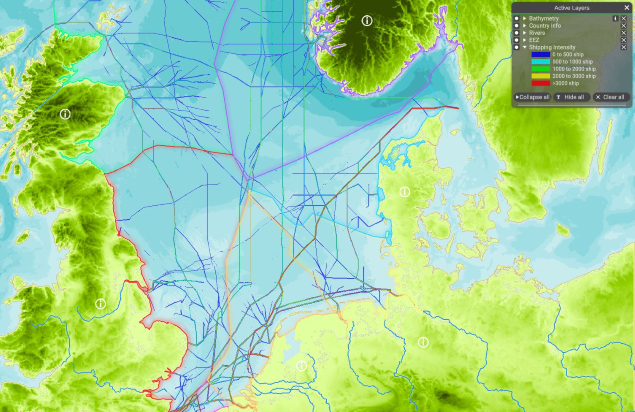
| 10:12, 10 May 2022 | Layer Shipping Intensity.png (file) |  |
576 KB | Magali | 1 | |
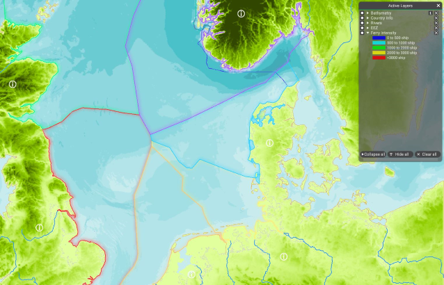
| 10:09, 10 May 2022 | Layer Ferry Intensity.png (file) |  |
458 KB | Magali | 1 | |
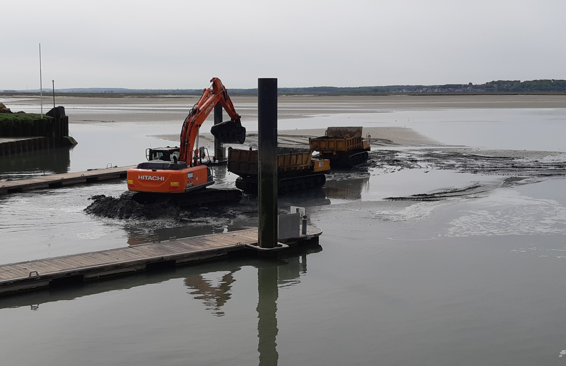
| 09:50, 10 May 2022 | Layer Dredging Sites.png (file) |  |
1.9 MB | Magali | Taken in "Le Cortoy", Baie de Somme, France in May 2022 by Magali Goncalves :D | 1 |
| 13:08, 9 May 2022 | Layer Shipping Intensity Cargo(static).png (file) | .png) |
1.78 MB | Magali | 1 | |
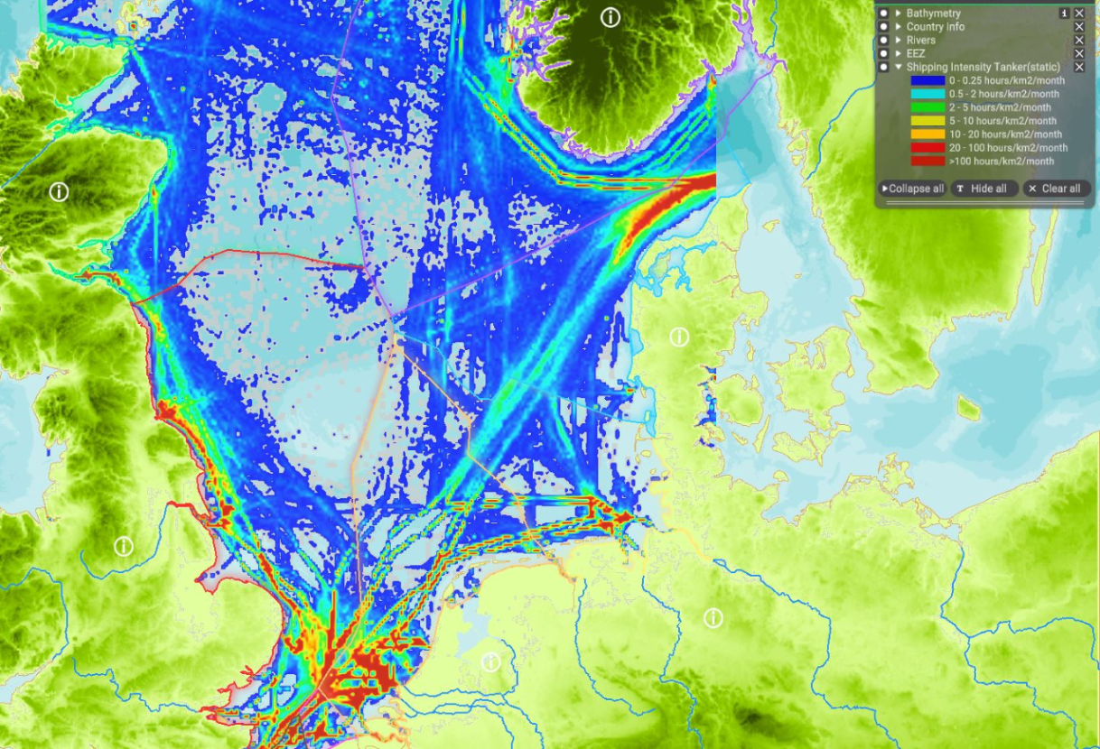
| 13:04, 9 May 2022 | Layer Shipping Intensity Tanker(static).png (file) | .png) |
1.77 MB | Magali | 1 | |
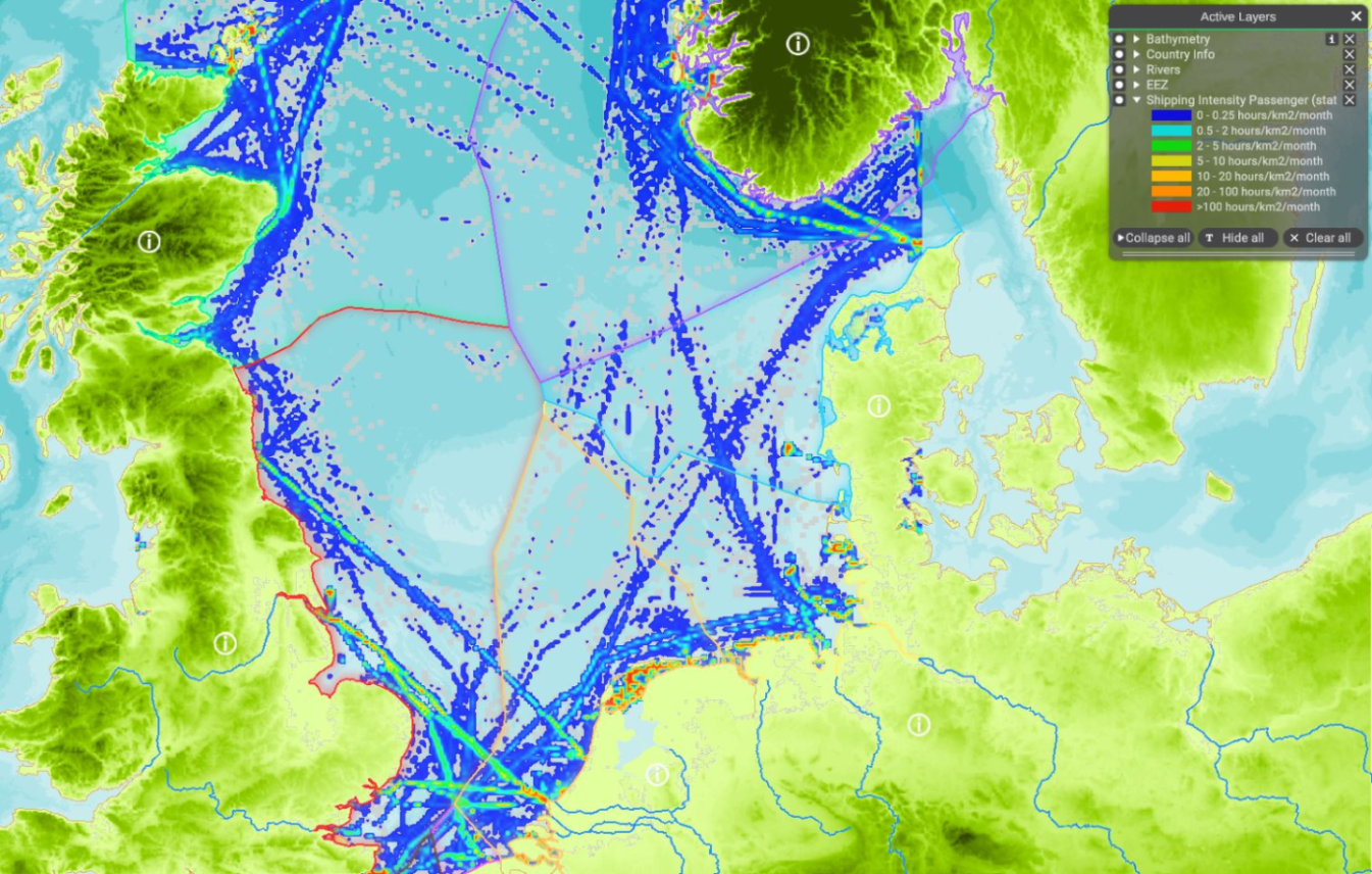
| 12:21, 9 May 2022 | Layer Shipping Intensity Passenger (static).png (file) | .png) |
1.84 MB | Magali | 1 | |
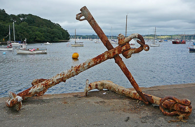
| 07:28, 9 May 2022 | Layer Anchorages.png (file) |  |
207 KB | Magali | Tim Green Anchor on the quayside at Mylor Taken on August 15, 2009 Some rights reserved https://www.flickr.com/photos/atoach/3867715873/ | 1 |
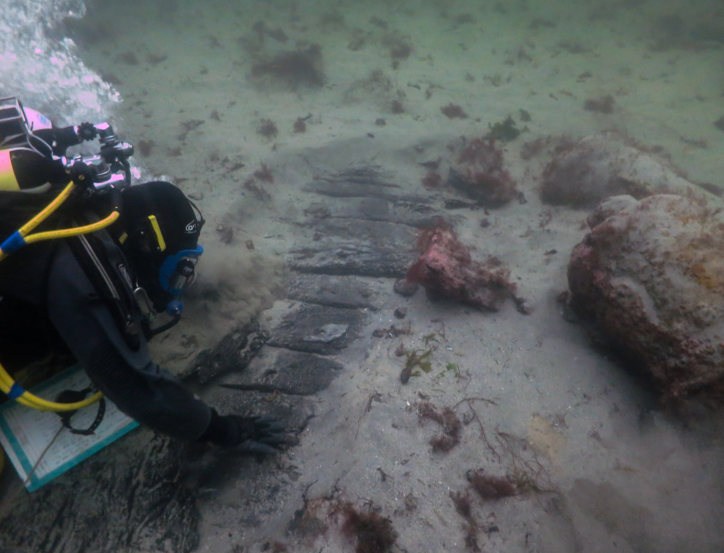
| 07:40, 29 April 2022 | Layer Wreckages.png (file) |  |
1.88 MB | Magali | Photograph by J. Benjamin (WA Coastal & Marine), © Copyright: Historic Environment Scotland. | 1 |
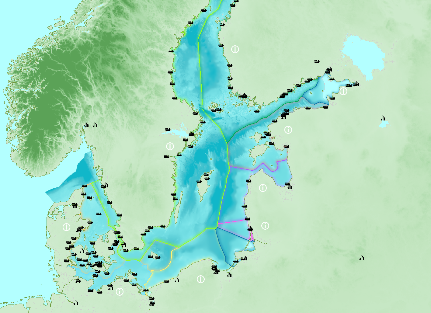
| 09:21, 26 April 2022 | Layer No shipping zones.png (file) |  |
976 KB | Magali | 1 | |
| 09:11, 26 April 2022 | Layer Ports.png (file) |  |
1.24 MB | Magali | 1 | |
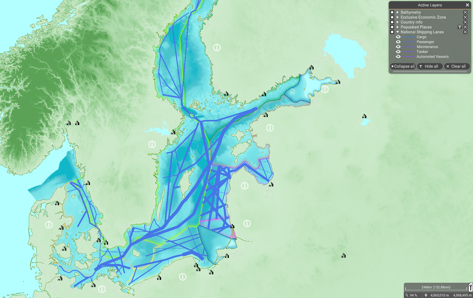
| 14:50, 25 April 2022 | Layer National Shipping Lanes.png (file) |  |
1.4 MB | Magali | 1 | |
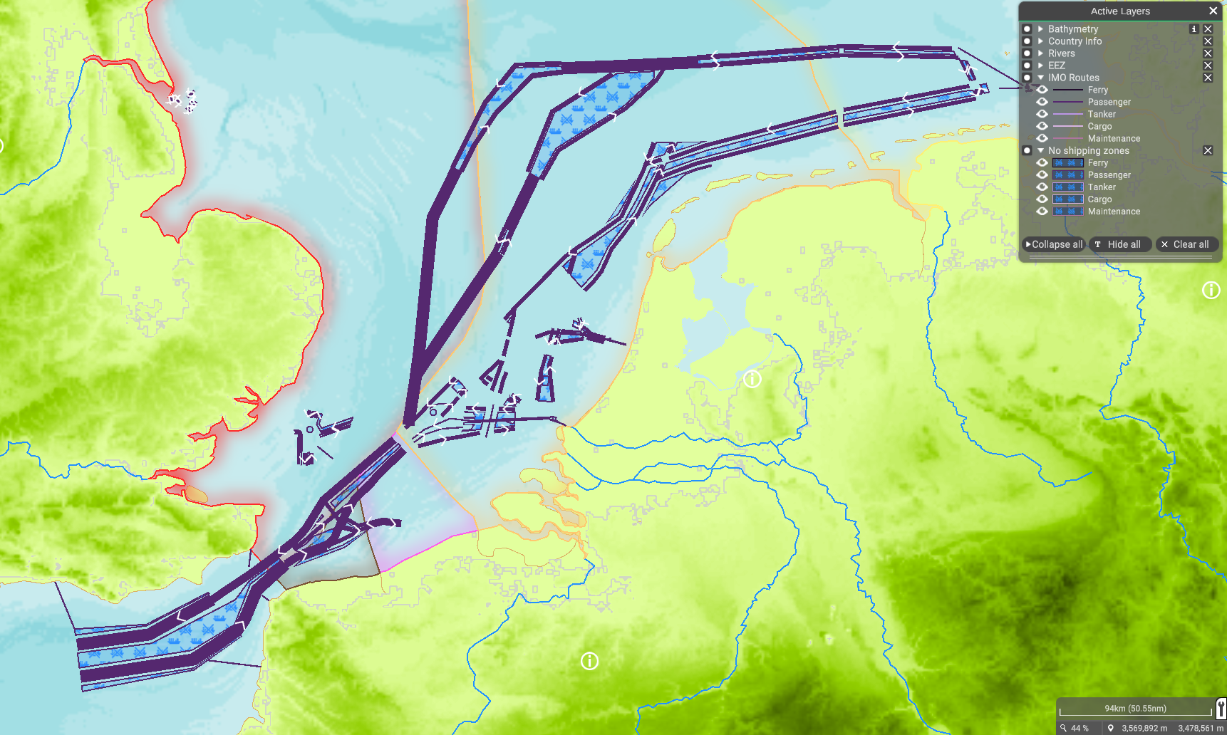
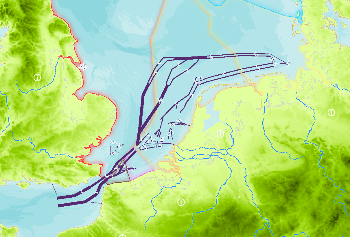
| 14:21, 25 April 2022 | Layer IMO Routes.png (file) |  |
726 KB | Magali | 1 | |
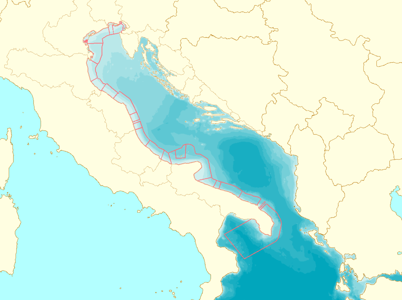
| 13:50, 25 April 2022 | Layer Sand & Gravel Extraction.png (file) |  |
190 KB | Magali | Source: https://www.noordzeeloket.nl/en/functions-and-use/baggerspecie/ accessed on 2022/04/25 | 1 |
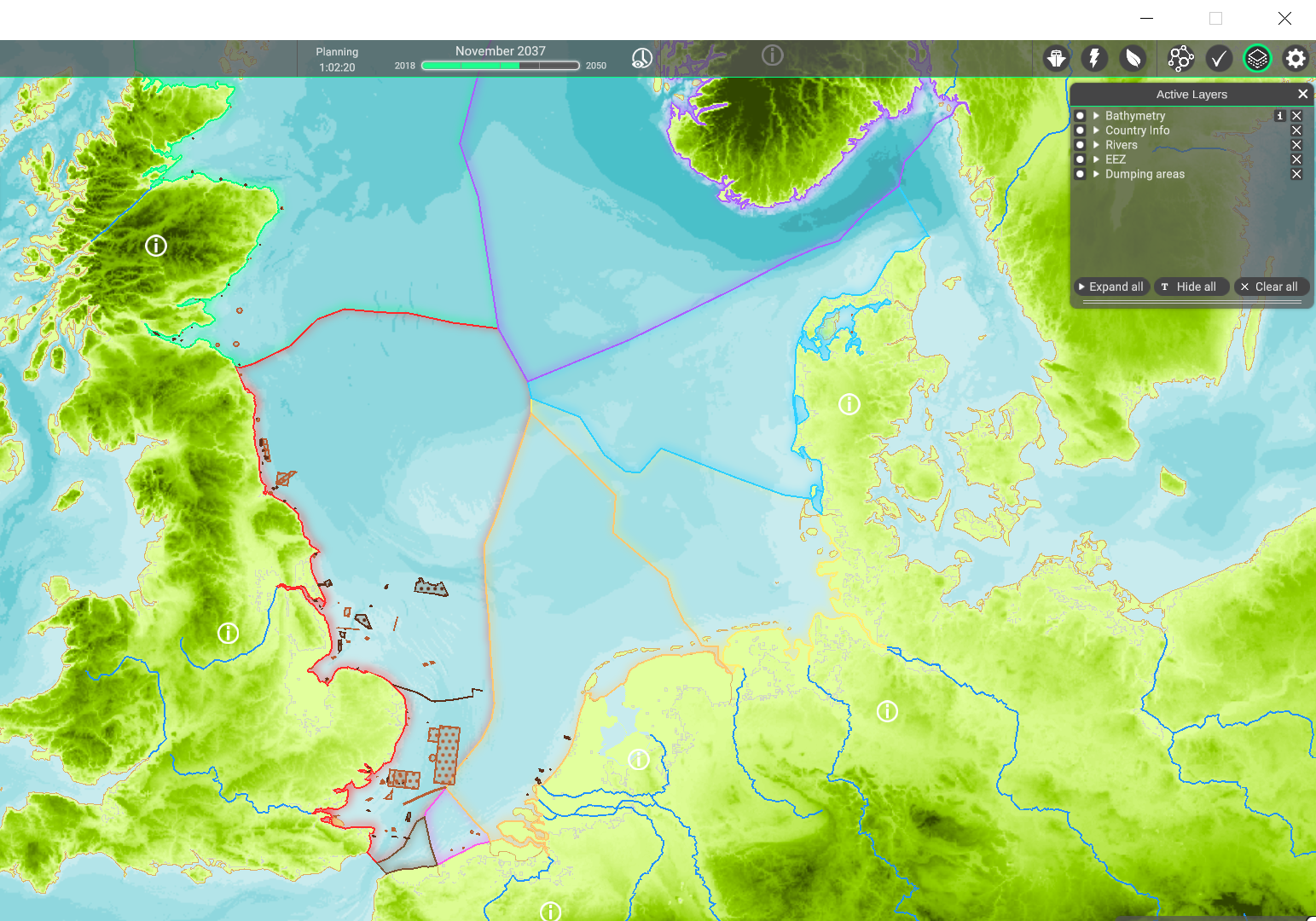
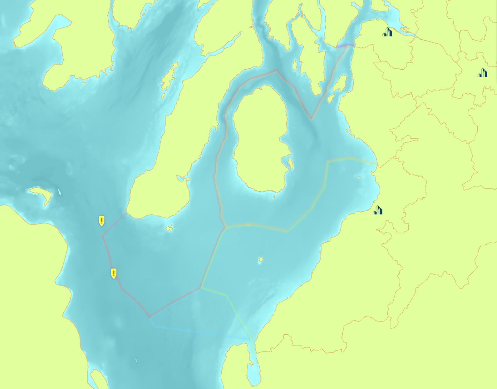
| 11:17, 25 April 2022 | Layer Dumping areas.png (file) |  |
1.33 MB | Magali | 1 | |
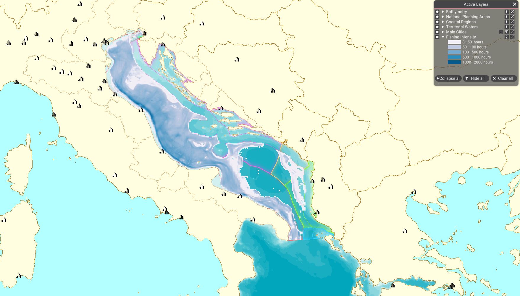
| 13:27, 8 April 2022 | Layer Fishing Intensity.JPG (file) |  |
193 KB | Magali | 1 | |
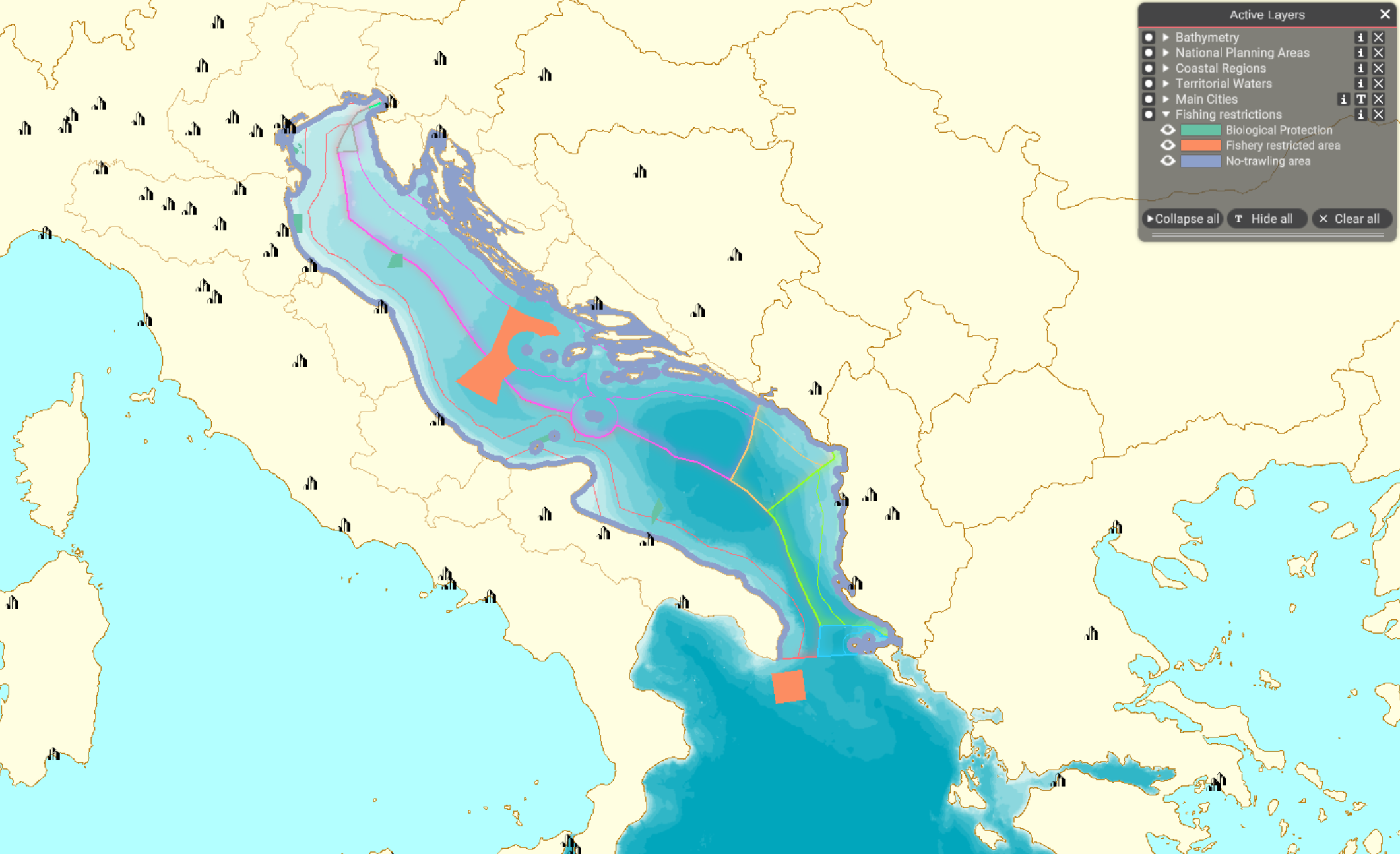
| 14:17, 5 April 2022 | Layer Fishing restrictions.png (file) |  |
710 KB | Magali | 1 | |
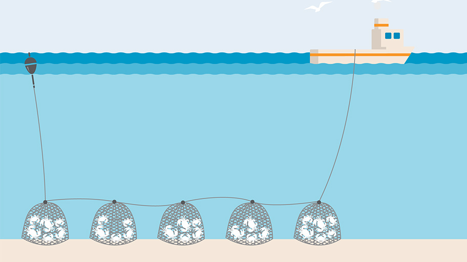
| 14:00, 5 April 2022 | Pots Creel.jpg (file) |  |
95 KB | Magali | https://www.msc.org/what-we-are-doing/our-approach/fishing-methods-and-gear-types/pots-and-traps | 1 |
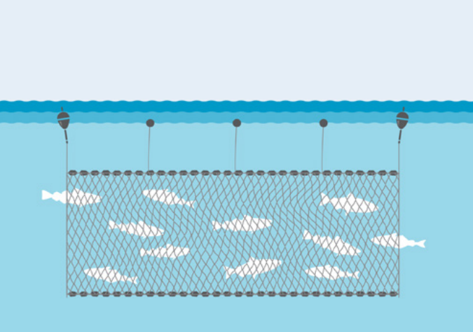
| 13:28, 5 April 2022 | Seine Fleet.png (file) |  |
768 KB | Magali | https://www.seafish.org/responsible-sourcing/fishing-gear-database/gear/ps-purse-seine/ | 1 |
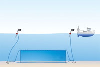
| 12:42, 5 April 2022 | Passive Demersal Fleet.png (file) |  |
15 KB | Magali | https://www.sustainweb.org/resources/images/fish_city/gc_fishing_method_passive_nets_1_small.jpg | 1 |
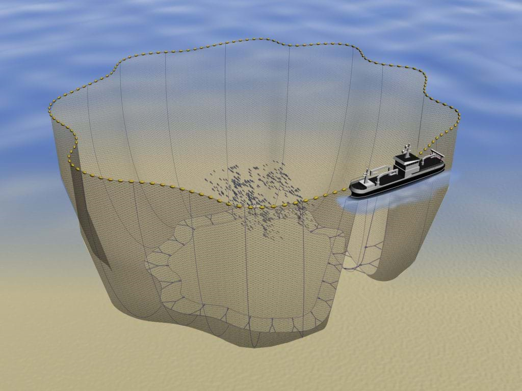
| 12:37, 5 April 2022 | Passive Demersal.png (file) |  |
1.89 MB | Magali | www.sustainweb.org (https://www.sustainweb.org/resources/images/fish_city/gc_fishing_method_passive_nets_1_small.jpg) | 1 |
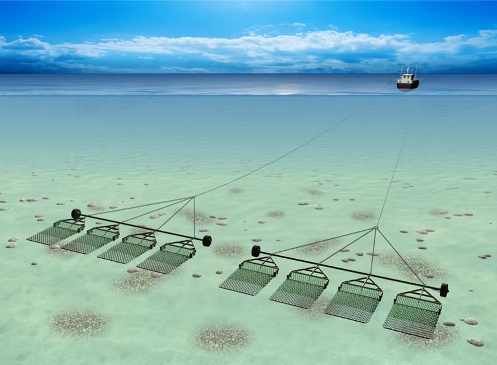
| 12:00, 5 April 2022 | Layer Industrial and Pelagic Trawl.png (file) |  |
412 KB | Magali | 1 | |
| 11:49, 5 April 2022 | Layer Bottom Trawl Catch.png (file) |  |
229 KB | Magali | From the NS poster for Rijkswaterstaat | 1 |
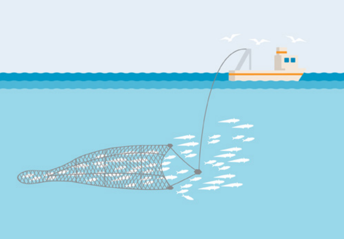
| 11:45, 5 April 2022 | Nets.png (file) |  |
303 KB | Magali | 1 | |
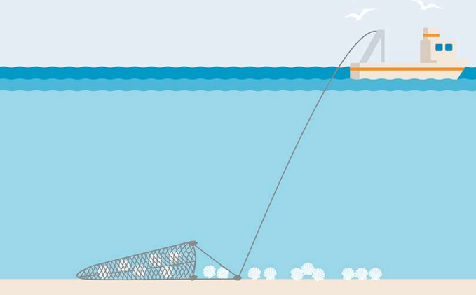
| 09:59, 5 April 2022 | Scallop dredge.png (file) |  |
848 KB | Magali | 1 | |
| 09:15, 5 April 2022 | Layer Scallop Fleet Catch.png (file) |  |
124 KB | Magali | Image from Marine Stewardship Council (www.msc.org), accessed on 2020/04. | 1 |
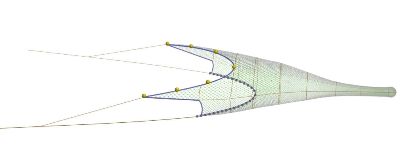
| 09:00, 5 April 2022 | Layer Nephrops Trawl Catch.png (file) |  |
200 KB | Magali | best to show the gear than the layer in MSP | 2 |
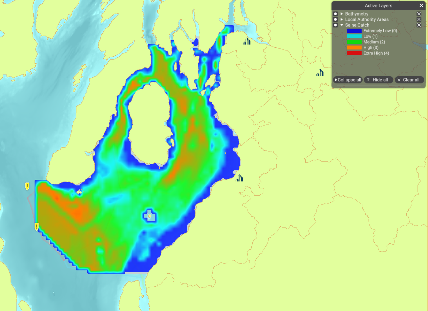
| 14:49, 4 April 2022 | Layer Seine Catch.png (file) |  |
824 KB | Magali | 1 | |
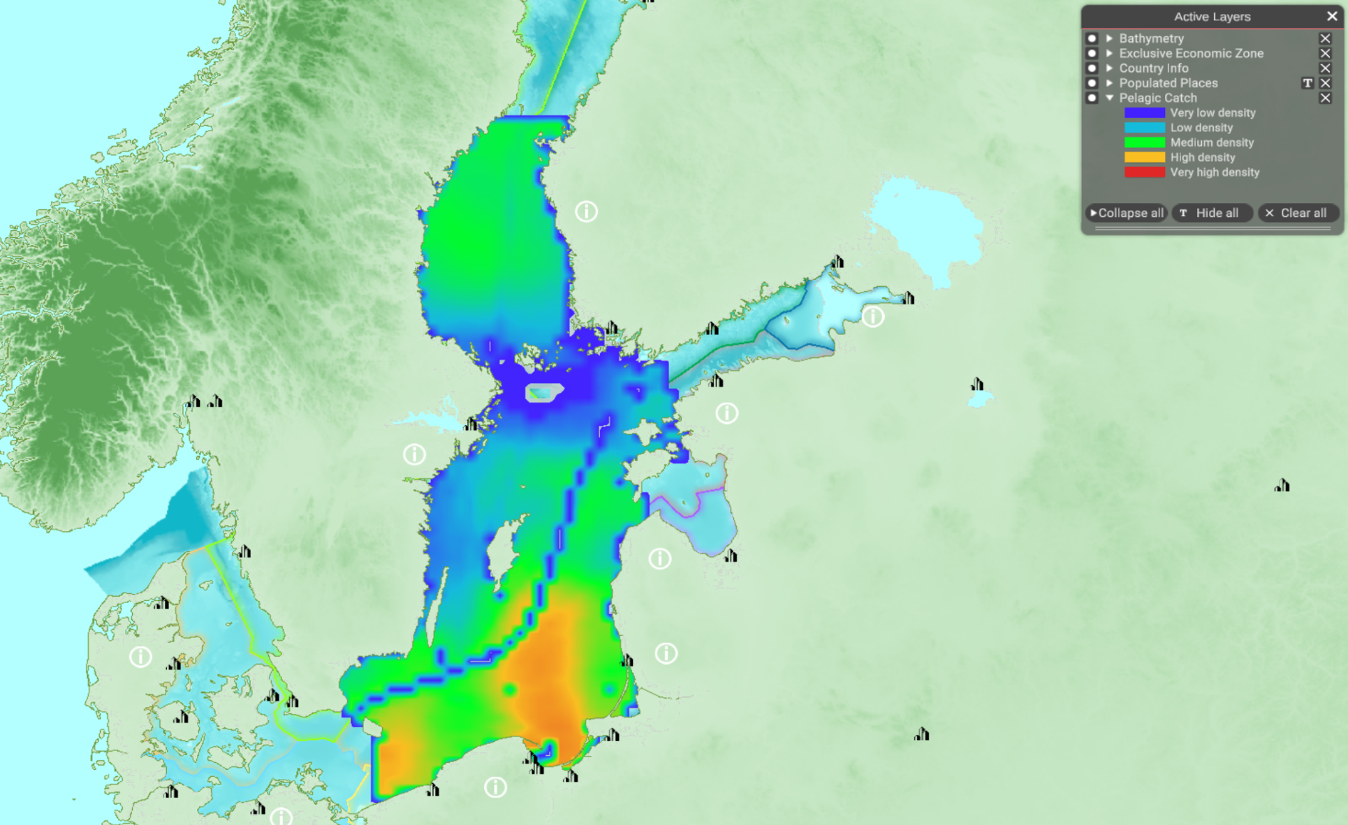
| 11:52, 4 April 2022 | Layer Pelagic Catch.png (file) |  |
1.84 MB | Magali | 1 | |
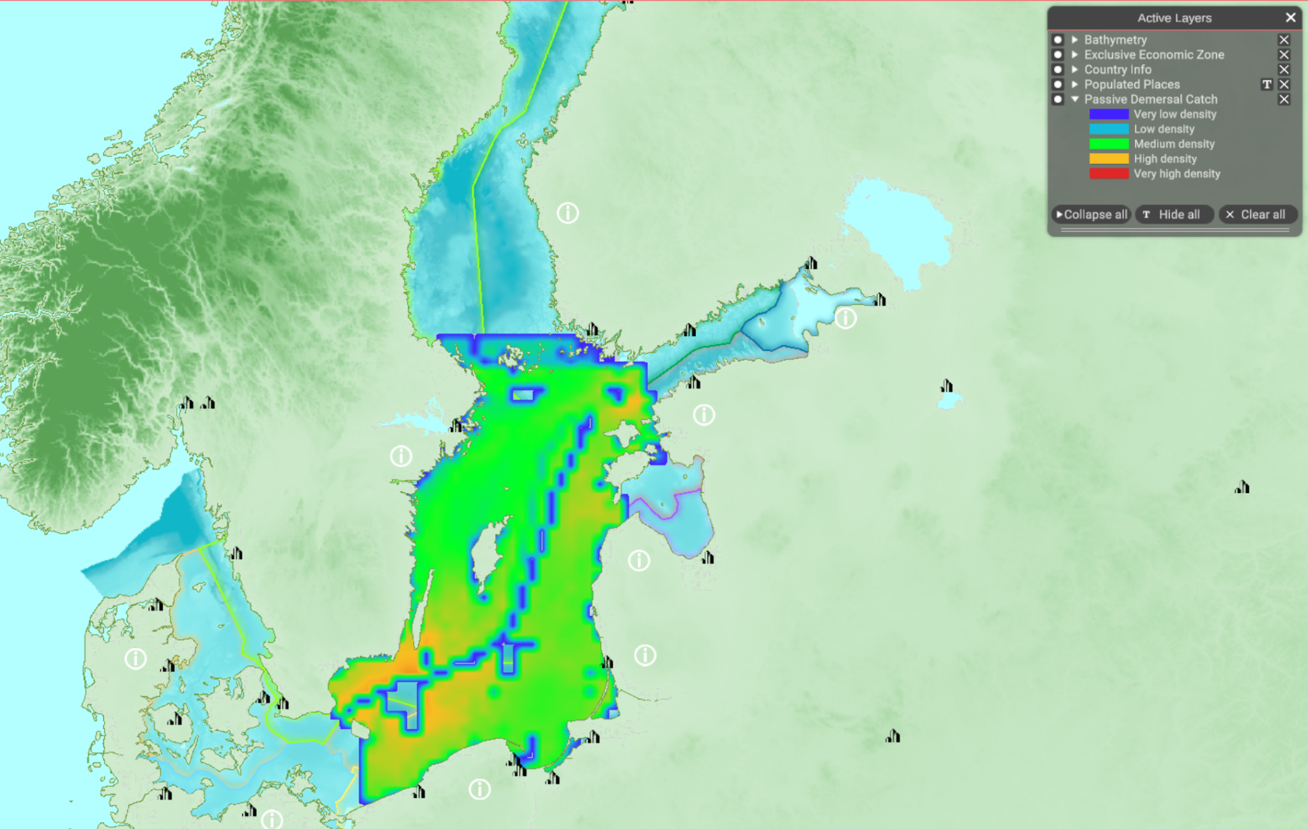
| 11:49, 4 April 2022 | Layer Passive Demersal Catch.png (file) |  |
1.89 MB | Magali | 1 | |
| 11:46, 4 April 2022 | Layer Active Demersal Catch.png (file) |  |
1.75 MB | Magali | 1 | |
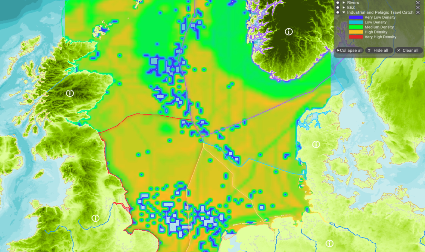
| 10:10, 4 April 2022 | Layer Industrial and Pelagic Trawl Catch.png (file) |  |
1.94 MB | Magali | 1 | |
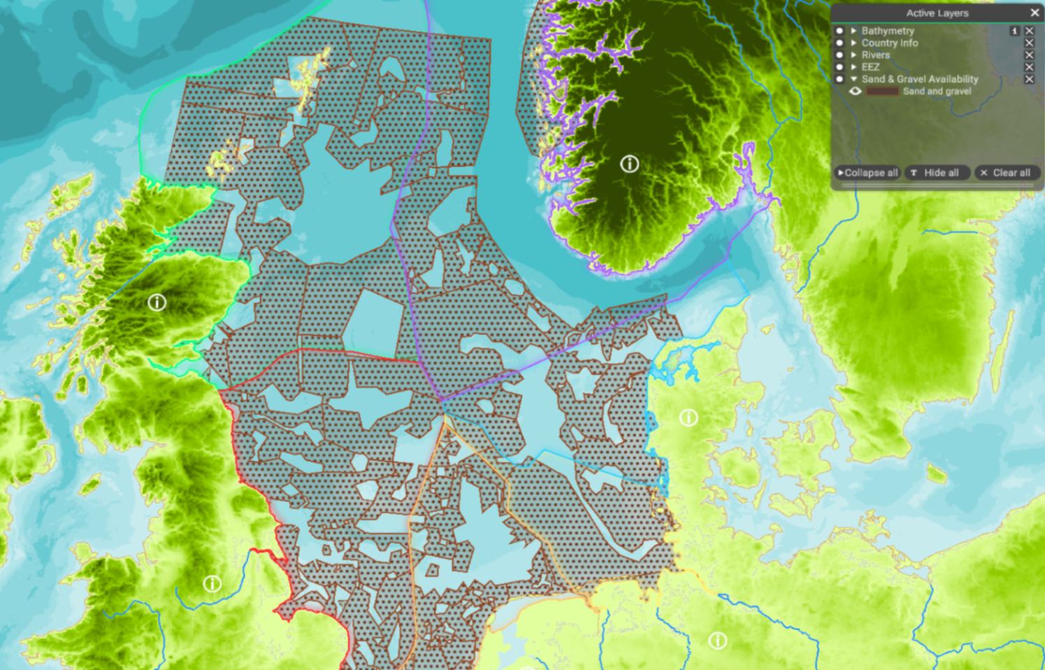
| 08:05, 4 April 2022 | Layer Sand & Gravel Availability.png (file) |  |
1.92 MB | Magali | 1 | |
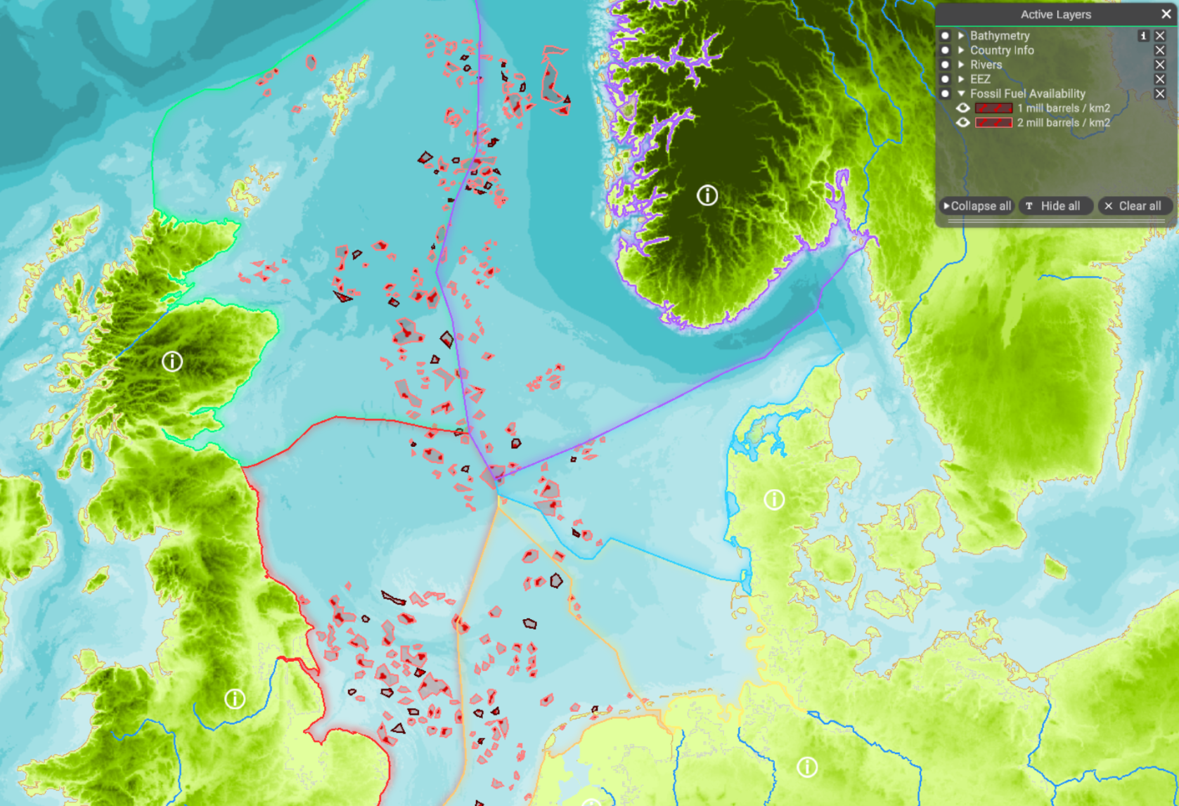
| 07:55, 4 April 2022 | NS oil gas availability.PNG (file) |  |
1.93 MB | Magali | 1 | |
| 13:36, 22 March 2022 | Layer Local Authority Areas.png (file) |  |
829 KB | Magali | 1 | |
| 13:19, 22 March 2022 | Layer Marine reporting units.png (file) |  |
403 KB | Magali | 1 | |
| 12:25, 22 March 2022 | Layer Maritime Compartments.png (file) |  |
459 KB | Magali | 1 | |
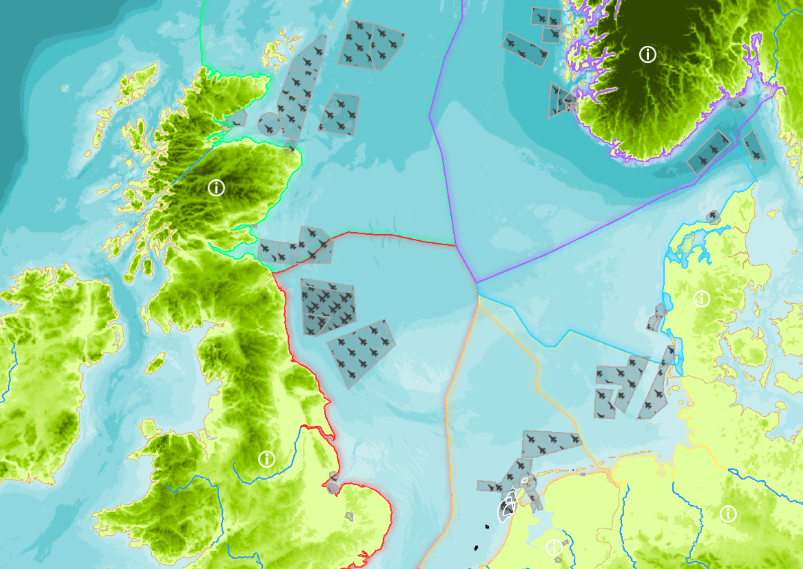
| 12:19, 22 March 2022 | Layer Military areas.png (file) |  |
1.54 MB | Magali | 2 | |
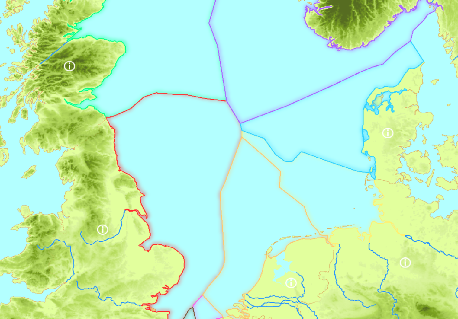
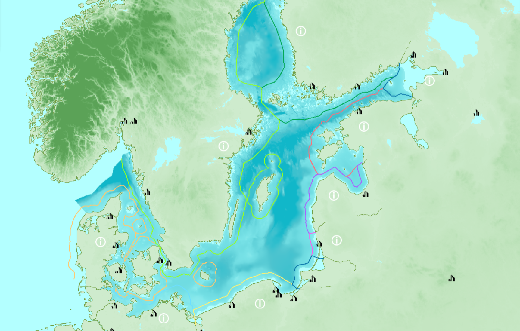
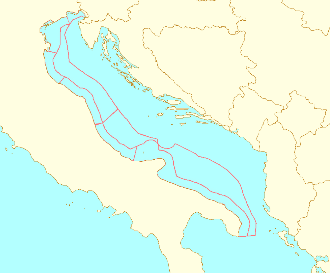
| 12:10, 22 March 2022 | Layer EEZ.png (file) |  |
1.04 MB | Magali | 3 | |
| 11:04, 22 March 2022 | Layer Territorial Waters.png (file) |  |
1.47 MB | Magali | 2 | |
| 10:21, 22 March 2022 | Layer Planning Sub-areas.png (file) |  |
205 KB | Magali | 1 | |
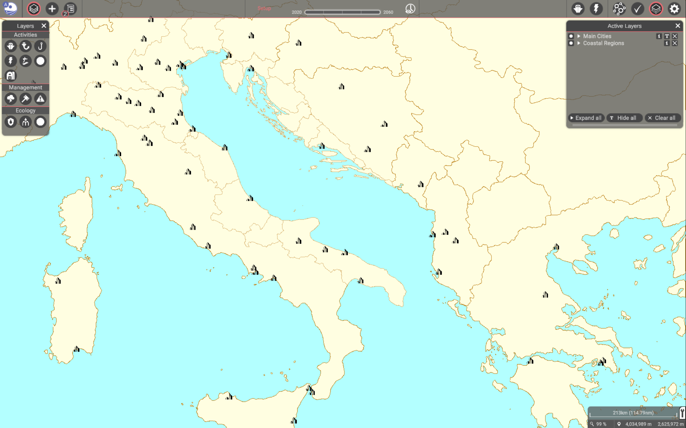
| 09:37, 22 March 2022 | Layer Coastal Regions.png (file) |  |
541 KB | Magali | 1 | |
| 09:35, 22 March 2022 | Layer Cities.png (file) |  |
500 KB | Magali | 1 | |
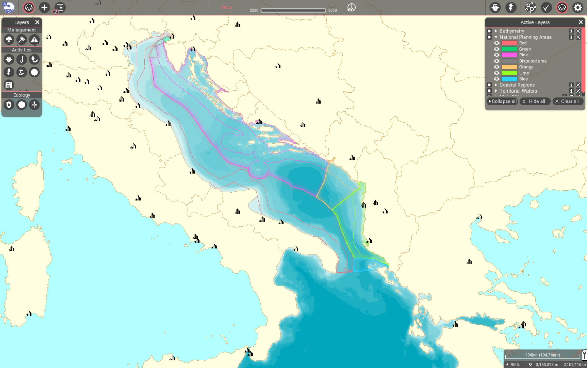
| 14:20, 21 March 2022 | Layer National Planning Areas.png (file) |  |
885 KB | Magali | 1 | |
| 13:09, 21 March 2022 | Macrobenthos.png (file) |  |
4 KB | Mspadmin | 1 | |
| 13:09, 21 March 2022 | Birds and mammals.png (file) |  |
3 KB | Mspadmin | 1 |
 Co-funded by the European Union.