This special page shows all uploaded files.
| Date | Name | Thumbnail | Size | Description | Versions |
|---|---|---|---|---|---|
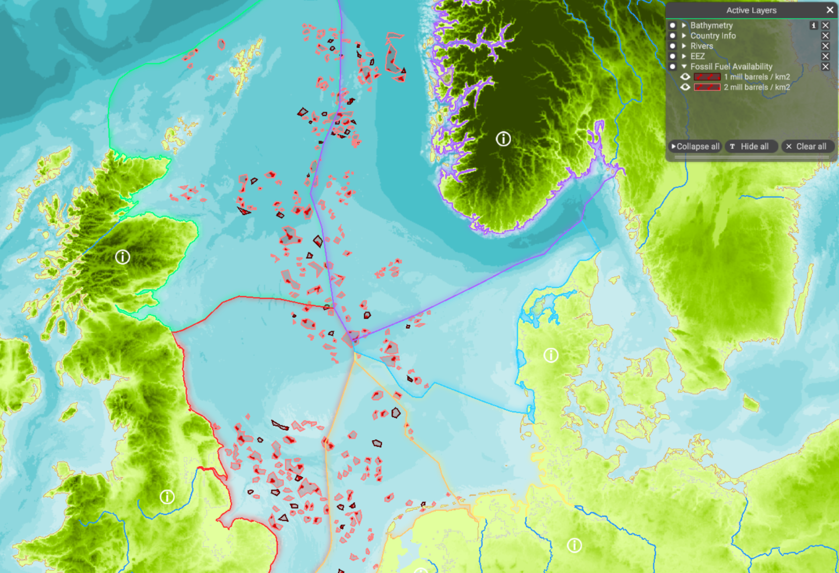
| 07:55, 4 April 2022 | NS oil gas availability.PNG (file) |  |
1.93 MB | 1 | |
| 13:36, 22 March 2022 | Layer Local Authority Areas.png (file) |  |
829 KB | 1 | |
| 13:19, 22 March 2022 | Layer Marine reporting units.png (file) |  |
403 KB | 1 | |
| 12:25, 22 March 2022 | Layer Maritime Compartments.png (file) |  |
459 KB | 1 | |
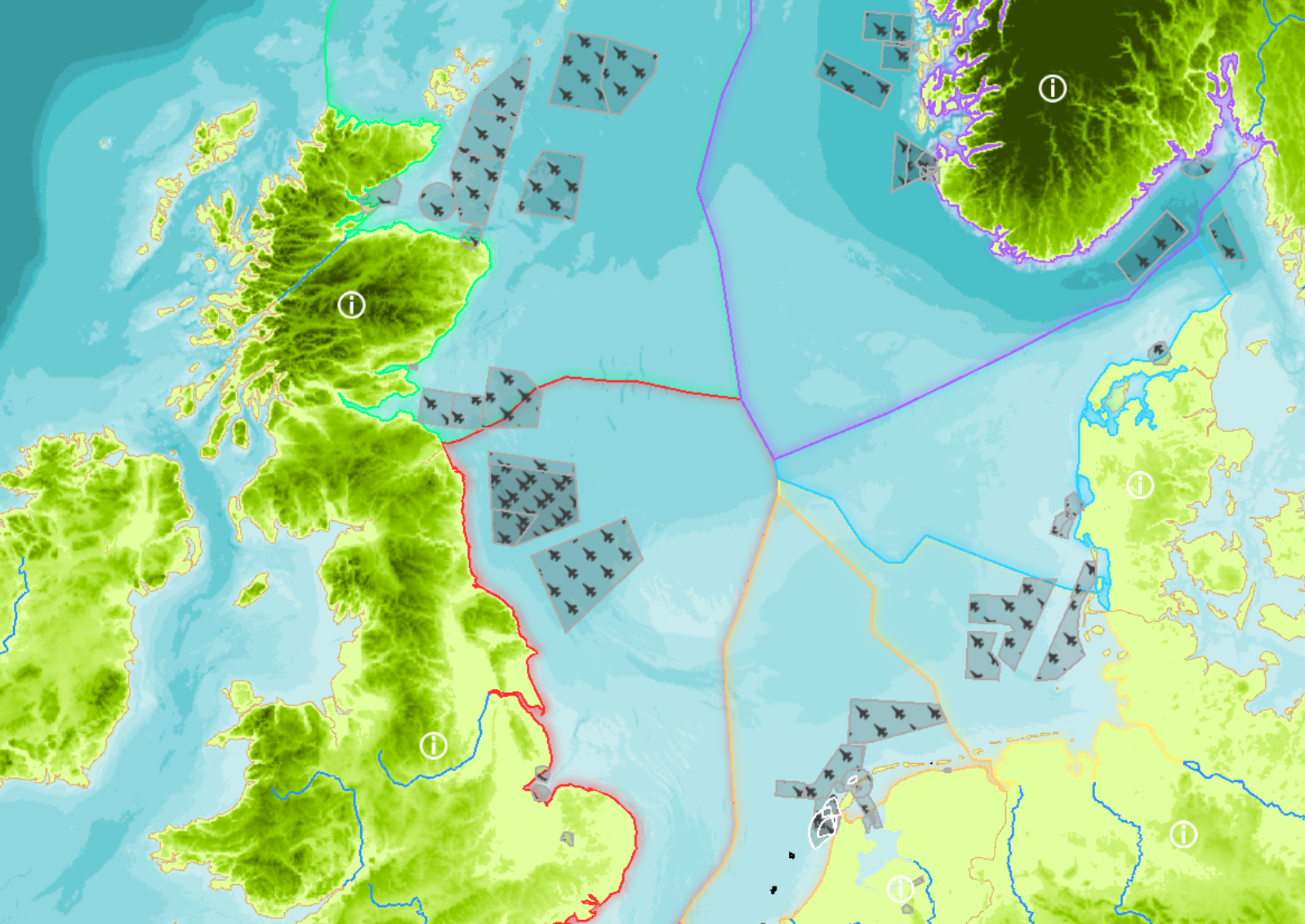
| 12:19, 22 March 2022 | Layer Military areas.png (file) |  |
1.54 MB | 2 | |
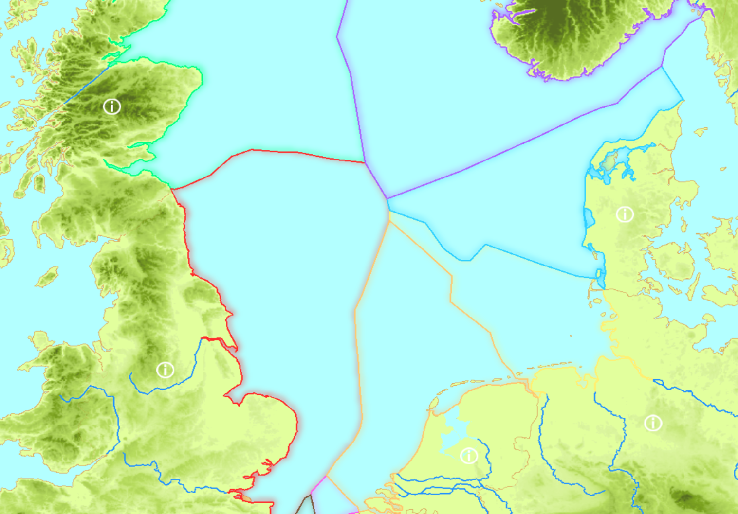
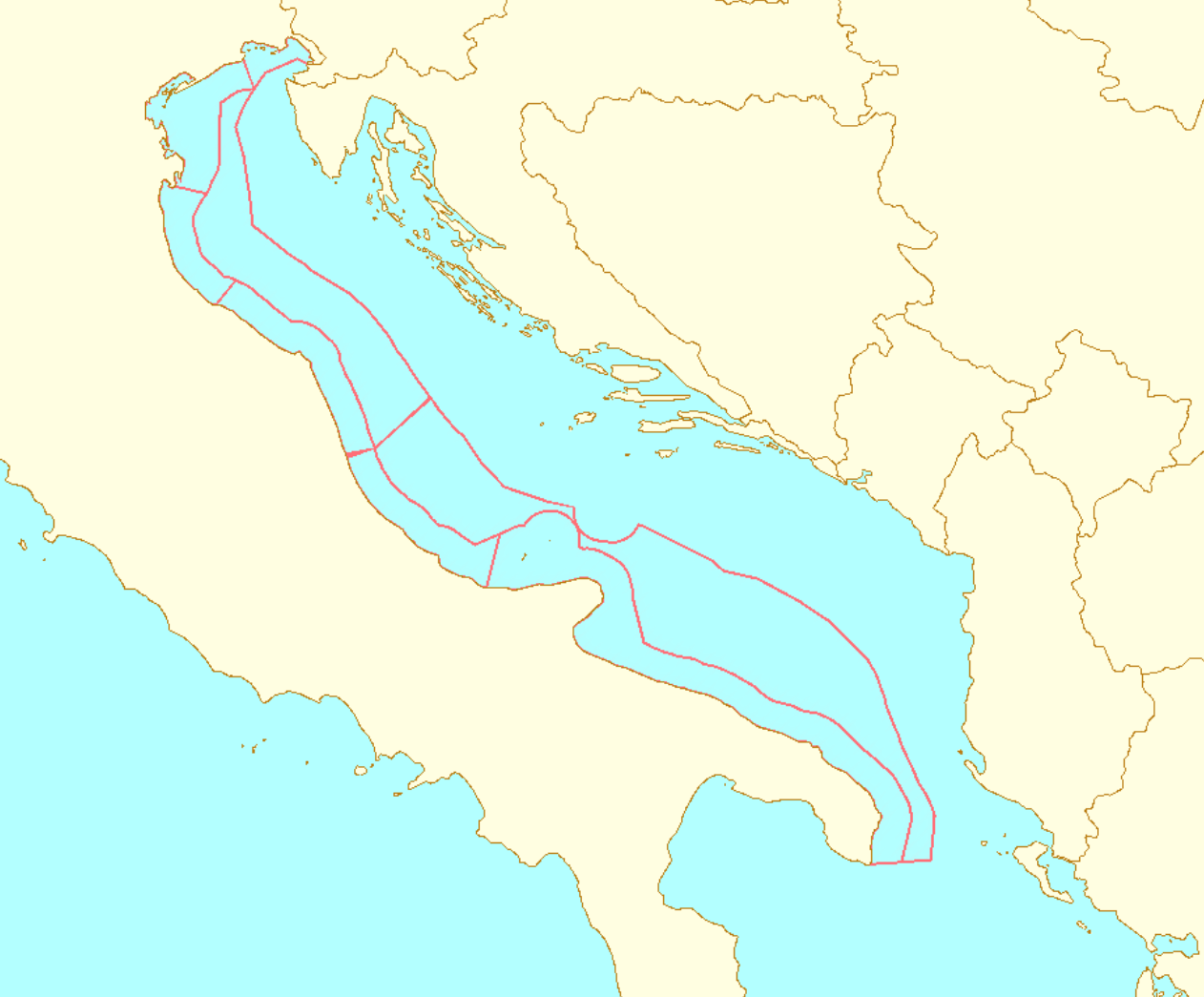
| 12:10, 22 March 2022 | Layer EEZ.png (file) |  |
1.04 MB | 3 | |
| 11:04, 22 March 2022 | Layer Territorial Waters.png (file) |  |
1.47 MB | 2 | |
| 10:21, 22 March 2022 | Layer Planning Sub-areas.png (file) |  |
205 KB | 1 | |
| 09:37, 22 March 2022 | Layer Coastal Regions.png (file) |  |
541 KB | 1 | |
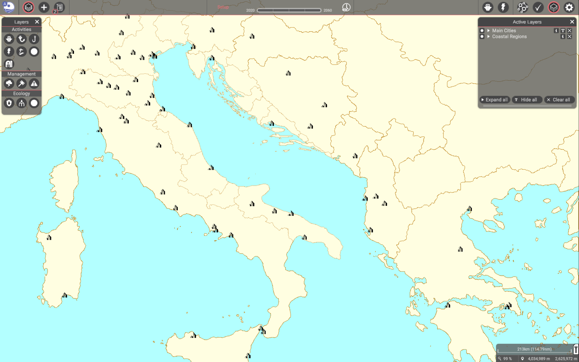
| 09:35, 22 March 2022 | Layer Cities.png (file) |  |
500 KB | 1 | |
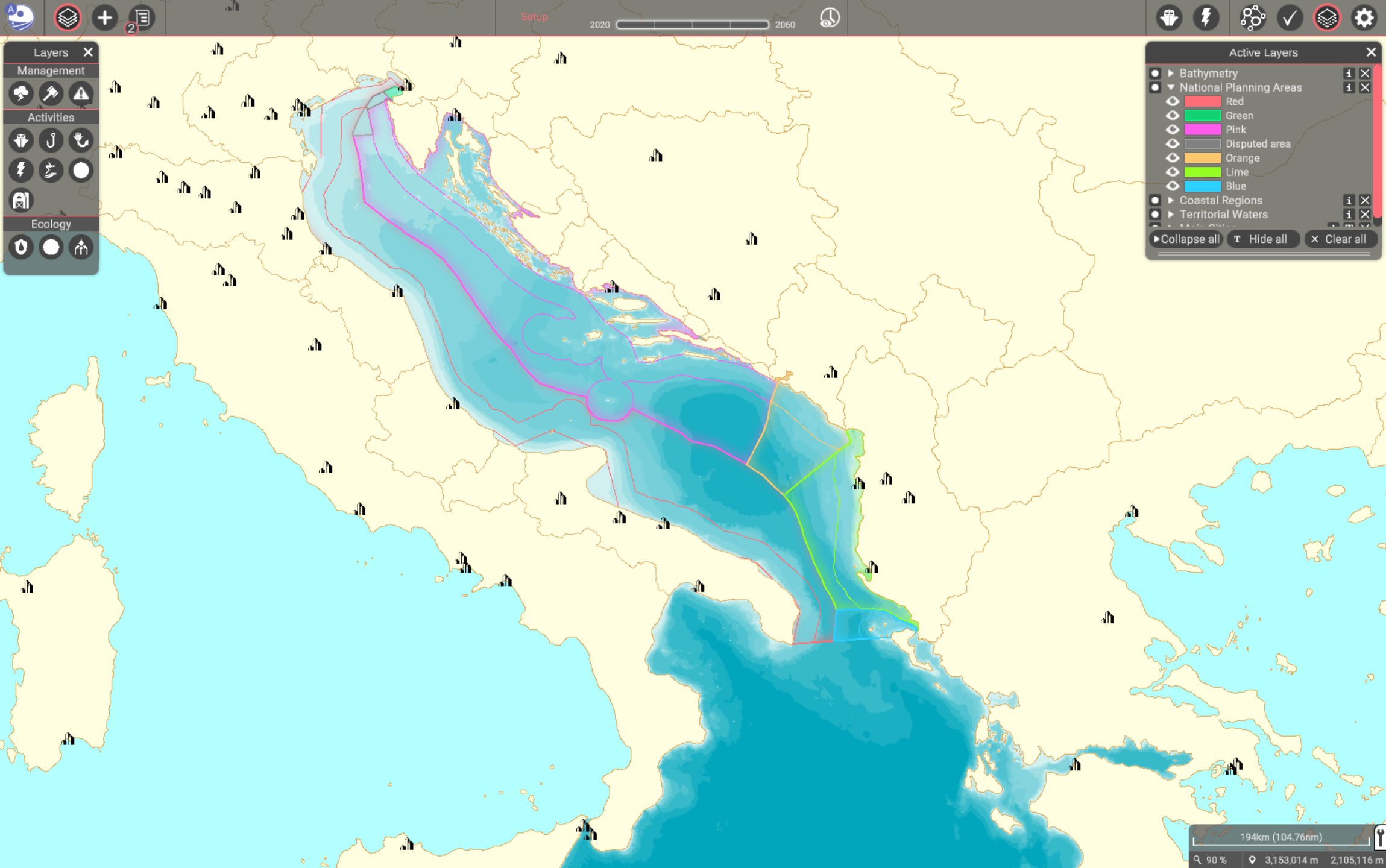
| 14:20, 21 March 2022 | Layer National Planning Areas.png (file) |  |
885 KB | 1 | |
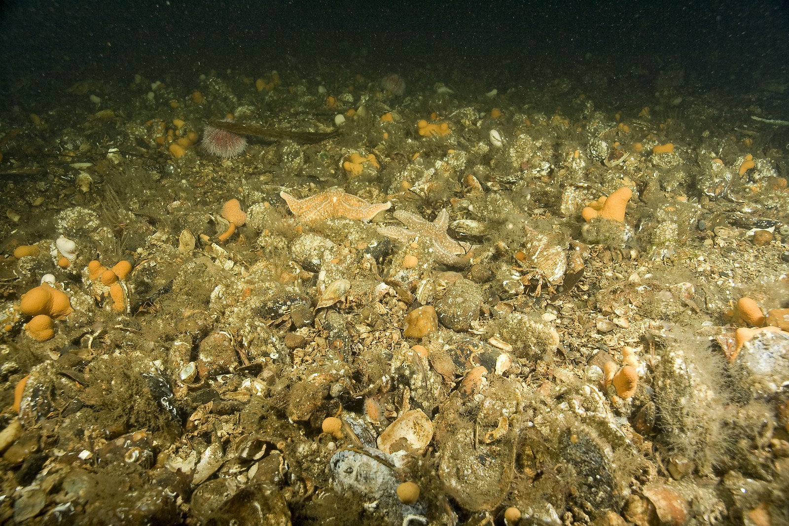
| 10:51, 15 March 2022 | HorseMusselBed.jpg (file) |  |
700 KB | 1 | |
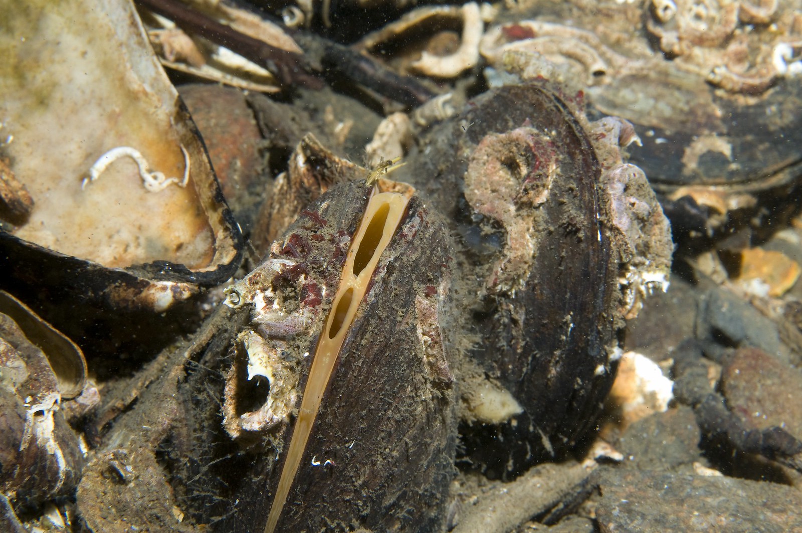
| 10:49, 15 March 2022 | HorseMussel.jpg (file) |  |
427 KB | 1 | |
| 12:25, 15 February 2022 | Mussel bed sciencelearn.jpg (file) |  |
48 KB | Rights: Shaun Lee, CC BY 4.0. Sourced from iNaturalistNZ. | 1 |
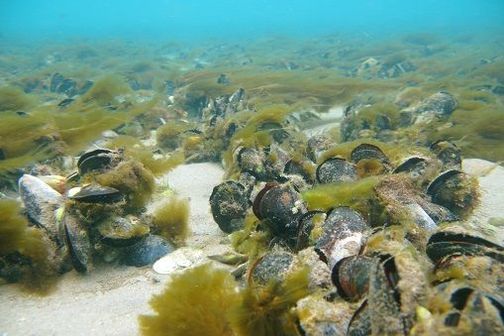
| 11:07, 15 February 2022 | Blue mussels.jpg (file) |  |
67 KB | “Blue Mussels”. Travis (2010). License: CC BY_NC 2.0. Not changed. Retrieved from https://www.flickr.com/photos/baggis/4751715152/ on 2022-02-15 | 1 |
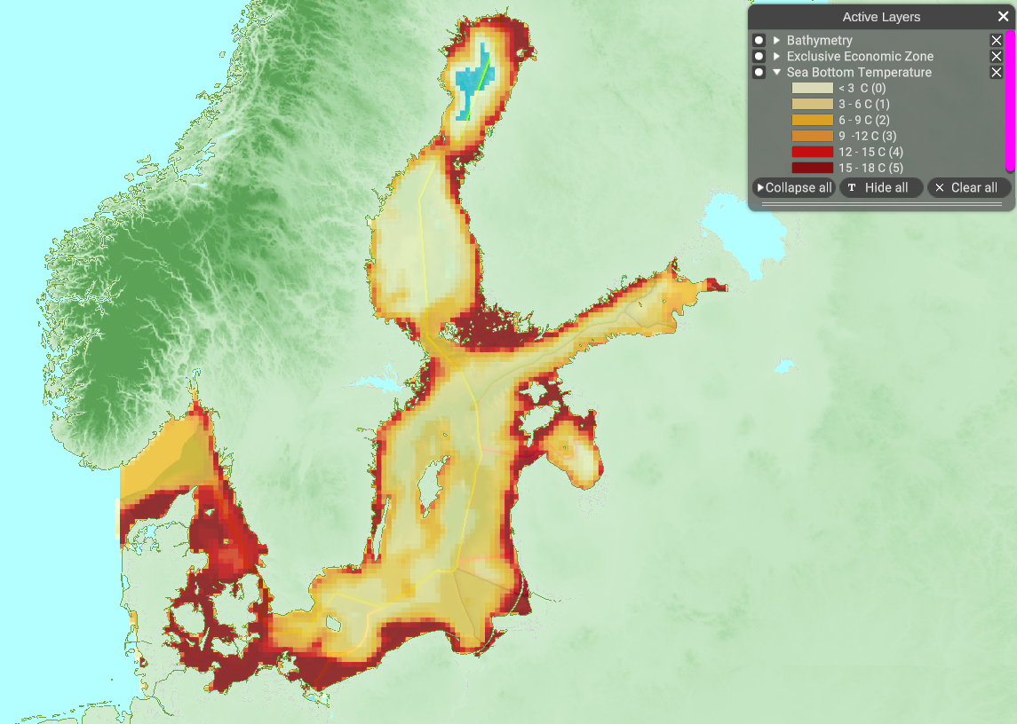
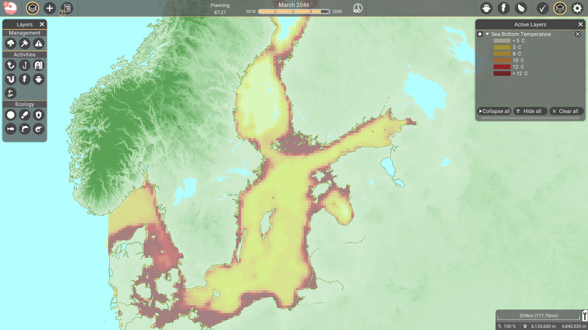
| 15:37, 8 February 2022 | Layer Sea Bottom Temperature.png (file) |  |
838 KB | 1 | |
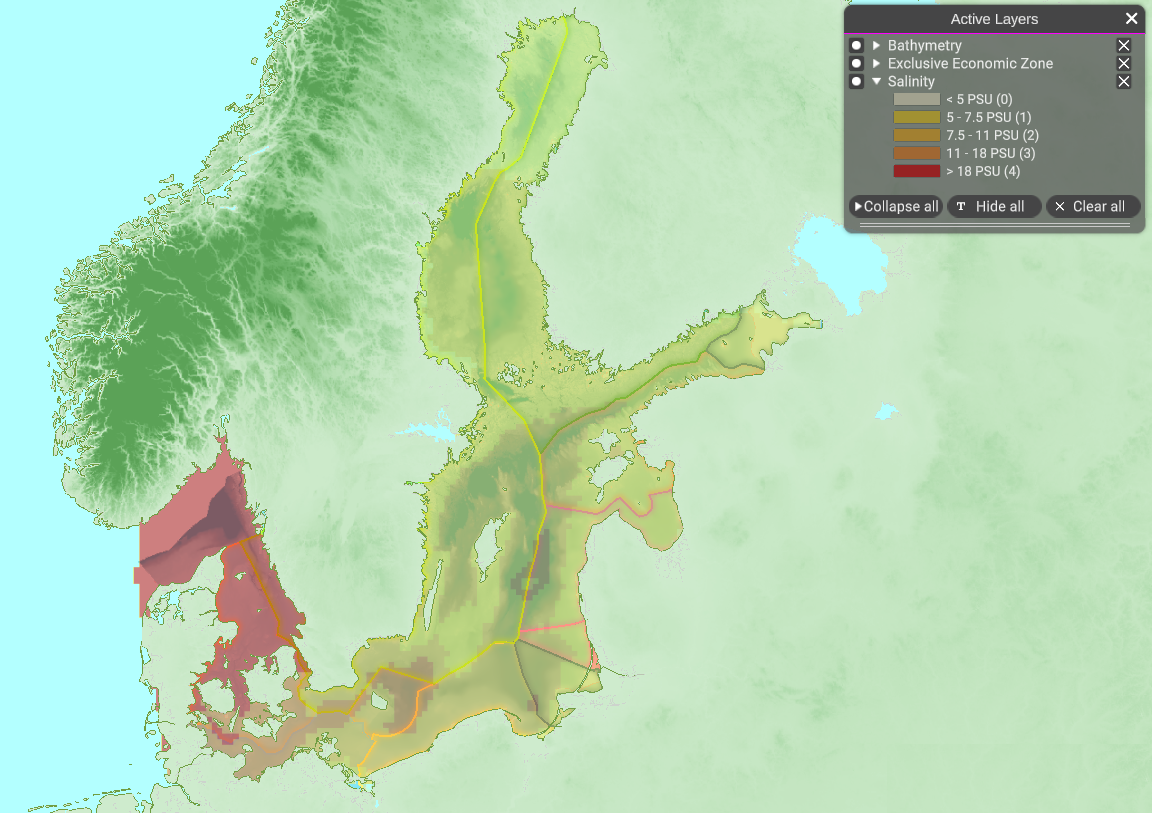
| 13:33, 8 February 2022 | Layer Salinity.png (file) |  |
848 KB | 1 | |
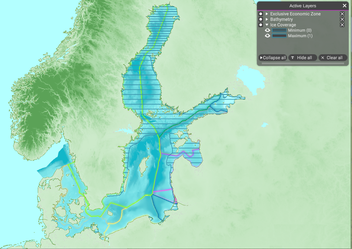
| 10:50, 8 February 2022 | Layer Ice Coverage.png (file) |  |
907 KB | 1 | |
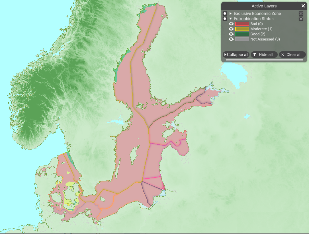
| 10:31, 8 February 2022 | Layer Eutrophication Status.png (file) |  |
718 KB | 1 | |
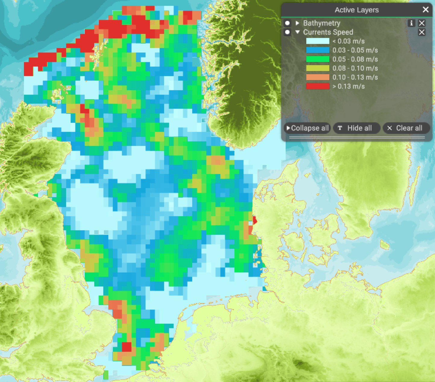
| 10:16, 8 February 2022 | Layer Currents Speed.png (file) |  |
1.57 MB | 1 | |
| 16:11, 25 January 2022 | Bathymetry.png (file) |  |
845 KB | 1 | |
| 16:05, 25 January 2022 | ICES rect.png (file) |  |
1,008 KB | 1 | |
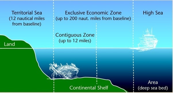
| 13:02, 24 January 2022 | Territorial Sea.jpg (file) |  |
55 KB | 1 | |
| 07:35, 6 July 2021 | BS bottom temperature.png (file) |  |
1.16 MB | 1 | |
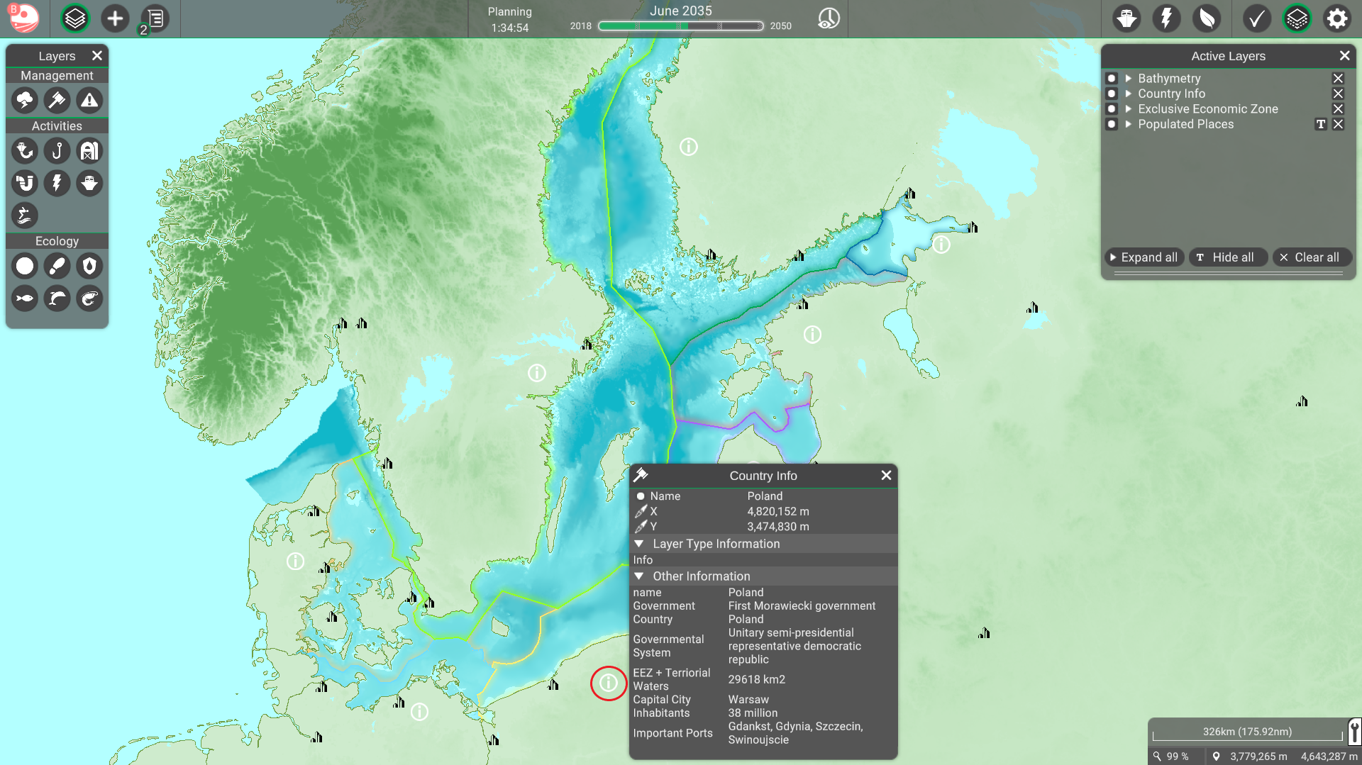
| 12:48, 5 July 2021 | Country info BS.png (file) |  |
1.42 MB | 1 | |
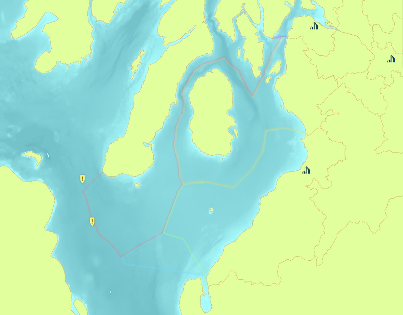
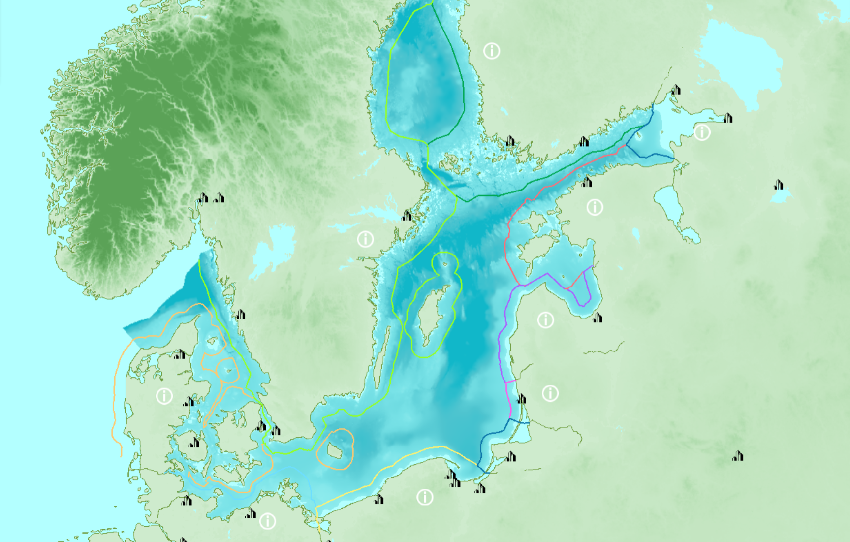
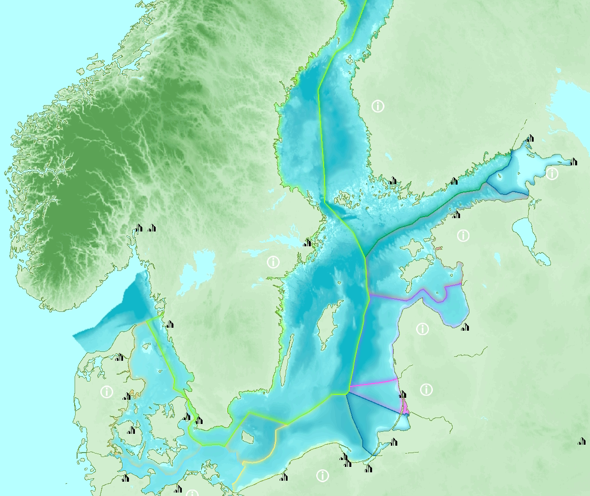
| 14:37, 8 June 2021 | BS EEZ.png (file) |  |
782 KB | Baltic Sea EEZ | 1 |
 Co-funded by the European Union.