This special page shows all uploaded files.
| Date | Name | Thumbnail | Size | User | Description | Versions |
|---|---|---|---|---|---|---|
| 13:14, 11 October 2023 | Layer Sprat Biomass.jpg (file) |  |
96 KB | Hillevi | 1 | |
| 07:42, 14 April 2018 | Nsgreen.png (file) |  |
100 KB | Mspadmin | 1 | |
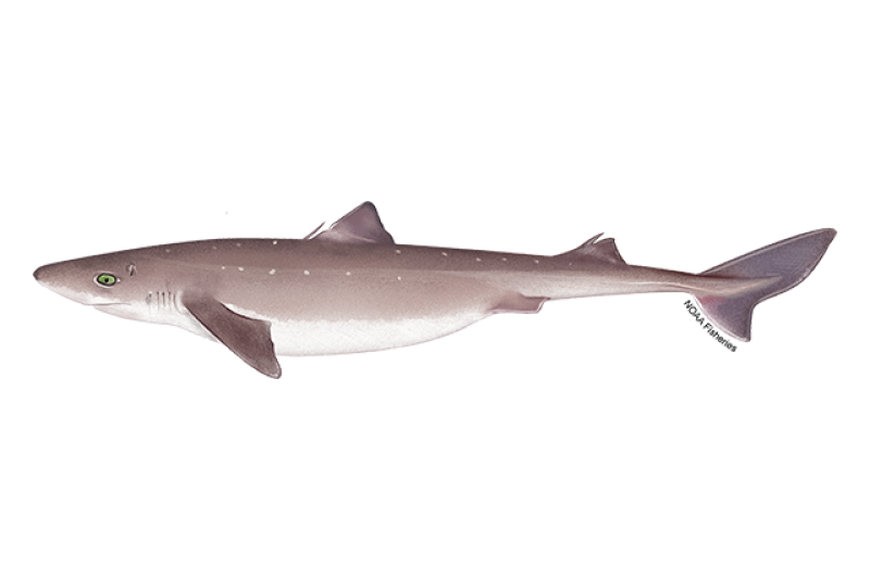
| 13:11, 11 October 2023 | Dog fish NOAA.png (file) |  |
102 KB | Hillevi | 1 | |
| 07:48, 14 April 2018 | Nsred.png (file) |  |
113 KB | Mspadmin | 1 | |
| 12:52, 26 June 2018 | The Marine Spatial Planning Directive.jpeg (file) |  |
123 KB | Mspadmin | 1 | |
| 09:15, 5 April 2022 | Layer Scallop Fleet Catch.png (file) |  |
124 KB | Magali | Image from Marine Stewardship Council (www.msc.org), accessed on 2020/04. | 1 |
| 12:02, 7 March 2018 | Kayak Example.jpg (file) |  |
136 KB | Mspadmin | 1 | |
| 14:27, 19 September 2022 | Layer Marinas.png (file) |  |
145 KB | Magali | “Marina”. Yasmin (2013). Licence: CC BY-NC-ND 2.0. Not changed. Retrieved from flickr.com on 2022-09-19. | 1 |
| 08:19, 14 April 2018 | Nspurple.png (file) |  |
149 KB | Mspadmin | 1 | |
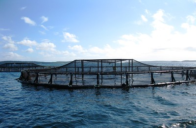
| 09:43, 3 October 2022 | Layer Aquaculture.png (file) |  |
157 KB | Magali | https://flickr.com/photos/usoceangov/15961903877/in/photostream/ Photo credits: "Aquaculture - Coastal net pens off the coast of Maine". NOAA's National Ocean Service (2011). Licence: CC BY 2.0. Not changed. Retrieved from flickr.com on 2022-10-03.Return to aquaculture. | 1 |
| 13:54, 7 March 2018 | CruiseShip.jpg (file) |  |
165 KB | Mspadmin | 1 | |
| 16:25, 18 November 2020 | NSBrown.png (file) |  |
168 KB | Mspadmin | 1 | |
| 14:33, 14 September 2022 | Layer Recreational Fishing.png (file) |  |
171 KB | Magali | https://www.flickr.com/photos/uwiscseagrant/51827826187/ Aquatic Sciences Center Recreational Fishing Taking to the water with fishing nets to scoop up their take, these recreational fishers enjoy a day in Wisconsin's Lake Michigan. Taken on July 1, 2017 Some rights reserved Attribution-NonCommercial 2.0 Generic (CC BY-NC 2.0) | 1 |
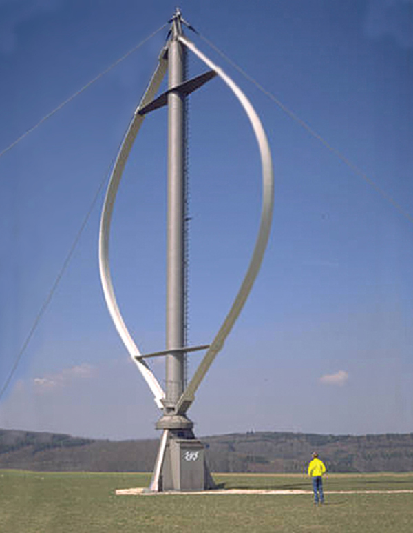
| 13:16, 6 March 2018 | Wind Turbine Example X.jpeg (file) |  |
176 KB | Mspadmin | http://www.powermag.com/changing-winds-the-evolving-wind-turbine/ | 1 |
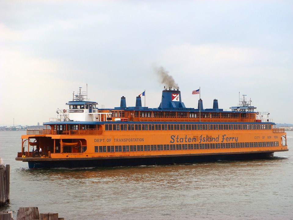
| 13:55, 7 March 2018 | FerryShip.jpg (file) |  |
176 KB | Mspadmin | 1 | |
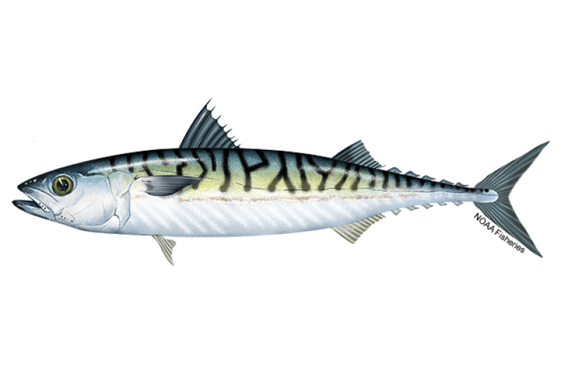
| 13:50, 9 October 2023 | Atlantic Mackerel NOAA.png (file) |  |
183 KB | Hillevi | 1 | |
| 14:07, 9 October 2023 | Layer Mackerel.png (file) |  |
183 KB | Hillevi | 1 | |
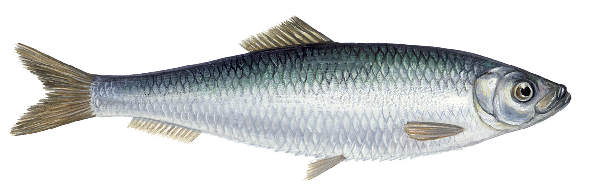
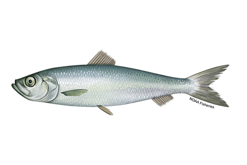
| 13:47, 9 October 2023 | Layer Herring.png (file) |  |
188 KB | Hillevi | 1 | |
| 13:50, 25 April 2022 | Layer Sand & Gravel Extraction.png (file) |  |
190 KB | Magali | Source: https://www.noordzeeloket.nl/en/functions-and-use/baggerspecie/ accessed on 2022/04/25 | 1 |
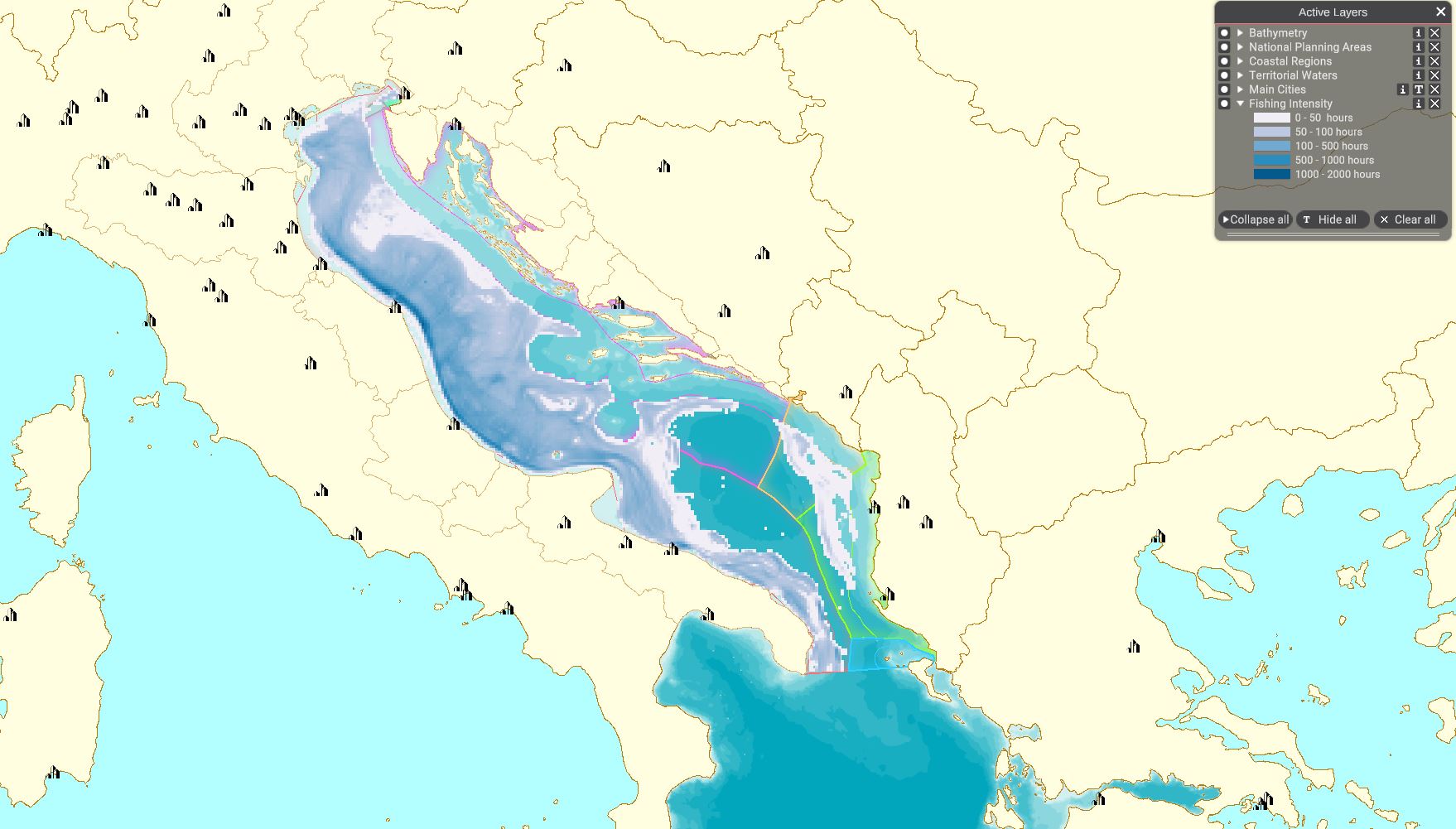
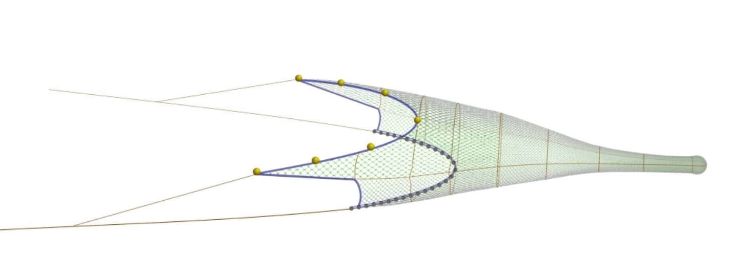
| 13:27, 8 April 2022 | Layer Fishing Intensity.JPG (file) |  |
193 KB | Magali | 1 | |
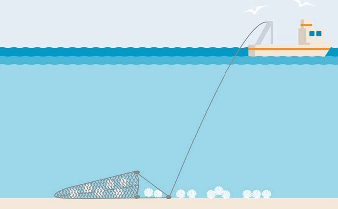
| 09:00, 5 April 2022 | Layer Nephrops Trawl Catch.png (file) |  |
200 KB | Magali | best to show the gear than the layer in MSP | 2 |
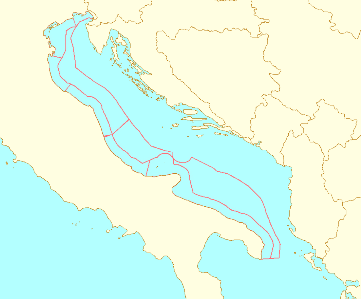
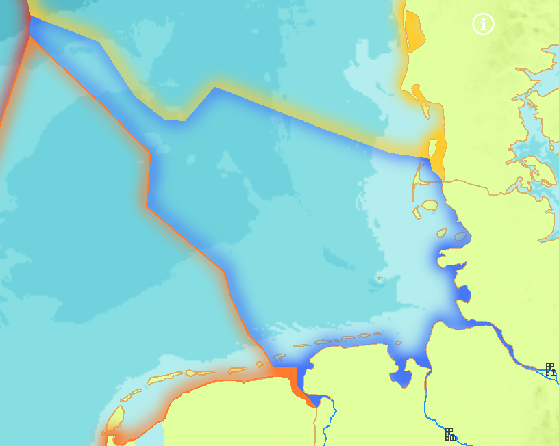
| 10:21, 22 March 2022 | Layer Planning Sub-areas.png (file) |  |
205 KB | Magali | 1 | |
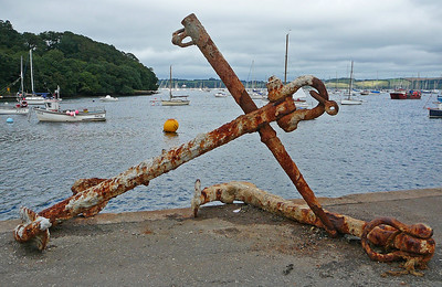
| 07:28, 9 May 2022 | Layer Anchorages.png (file) |  |
207 KB | Magali | Tim Green Anchor on the quayside at Mylor Taken on August 15, 2009 Some rights reserved https://www.flickr.com/photos/atoach/3867715873/ | 1 |
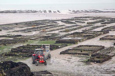
| 10:00, 3 October 2022 | Layer Shellfish Farms.png (file) |  |
210 KB | Magali | Photo credits: "Oyster Farm - Oyster-farmers working at the oyster parks of Cancale bay.". International Labour Organization ILO (2005). Licence: CC BY-NC-ND 2.0. (https://creativecommons.org/licenses/by-nc-nd/2.0/). Not changed. Retrieved from flickr.com on 2022-10-03. | 1 |
| 13:44, 7 March 2018 | Ship Example.jpg (file) |  |
217 KB | Mspadmin | 1 | |
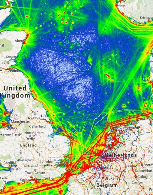
| 10:35, 14 April 2018 | Ais tracks marine traffic google NorthSEE proto.jpg (file) |  |
220 KB | Mspadmin | 1 | |
| 07:59, 31 August 2023 | Ns country blue.png (file) |  |
225 KB | Magali | New country blue image for NS (Germany) | 1 |
| 11:49, 5 April 2022 | Layer Bottom Trawl Catch.png (file) |  |
229 KB | Magali | From the NS poster for Rijkswaterstaat | 1 |
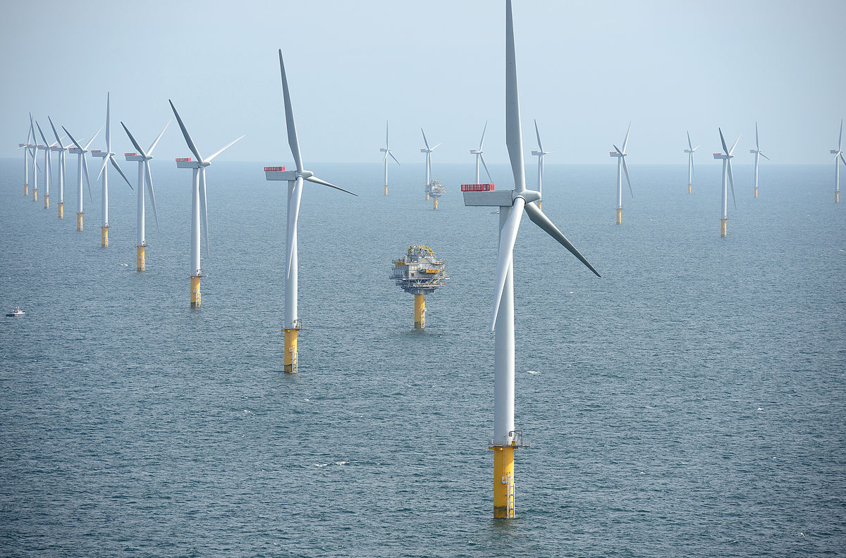
| 09:03, 5 March 2018 | Wind Farm Example.jpg (file) |  |
232 KB | Mspadmin | 1 | |
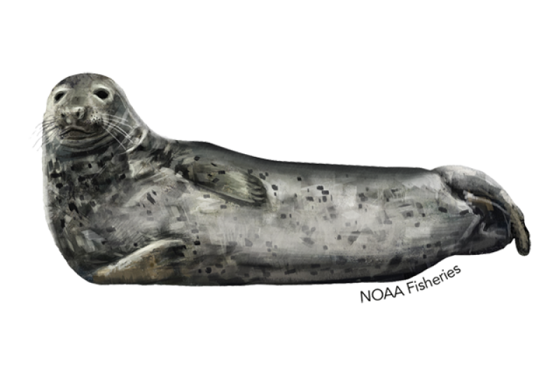
| 12:27, 10 October 2023 | Layer Seal.png (file) |  |
244 KB | Hillevi | 1 | |
| 20:28, 10 June 2021 | Layer Bathymetry.png (file) |  |
255 KB | Mspadmin | 1 | |
| 10:34, 14 April 2018 | Snapshot traffic Channel and western NorthSEE.jpg (file) |  |
264 KB | Mspadmin | 1 | |
| 14:17, 9 October 2023 | Layer Demersal fish.png (file) |  |
293 KB | Hillevi | 1 | |
| 11:45, 5 April 2022 | Nets.png (file) |  |
303 KB | Magali | 1 | |
| 10:34, 14 April 2018 | Snapshot-of-Vessel-Traffic-in-the-North-Sea-area-showing-AIS-based-indication-of-traffic.jpg.png (file) |  |
322 KB | Mspadmin | 1 | |
| 15:58, 7 March 2018 | NS Territorial Waters Example.png (file) |  |
336 KB | Mspadmin | 1 | |
| 08:00, 31 August 2023 | Ns country yellow.png (file) |  |
342 KB | Magali | New country yellow image for NS (Denmark) | 1 |
| 13:19, 22 March 2022 | Layer Marine reporting units.png (file) |  |
403 KB | Magali | 1 | |
| 14:14, 9 October 2023 | Layer Flatfish.png (file) |  |
404 KB | Hillevi | 1 | |
| 12:00, 5 April 2022 | Layer Industrial and Pelagic Trawl.png (file) |  |
412 KB | Magali | 1 | |
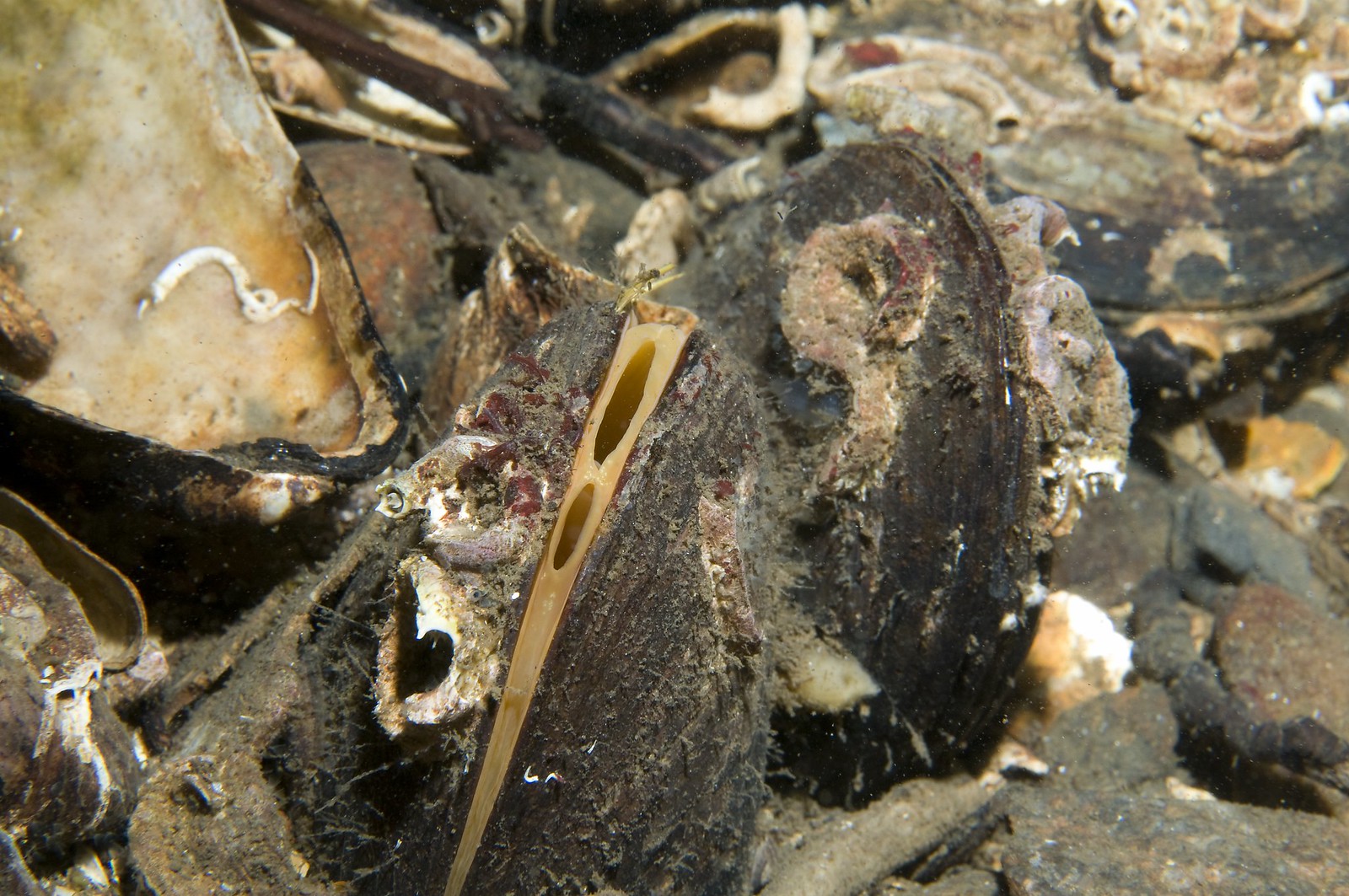
| 10:49, 15 March 2022 | HorseMussel.jpg (file) |  |
427 KB | Magali | 1 | |
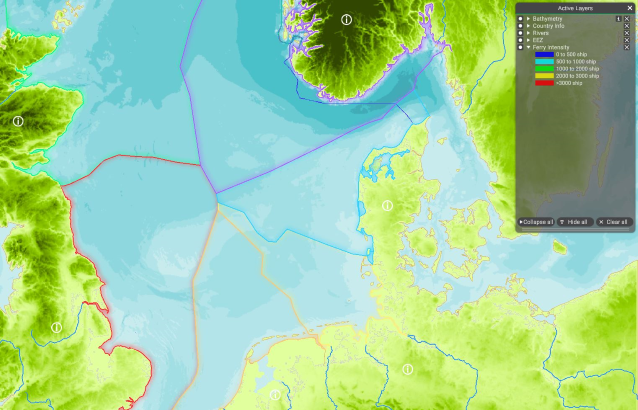
| 10:09, 10 May 2022 | Layer Ferry Intensity.png (file) |  |
458 KB | Magali | 1 | |
| 12:25, 22 March 2022 | Layer Maritime Compartments.png (file) |  |
459 KB | Magali | 1 | |
| 14:58, 28 September 2022 | AS coastal municipalities.png (file) |  |
482 KB | Magali | 1 | |
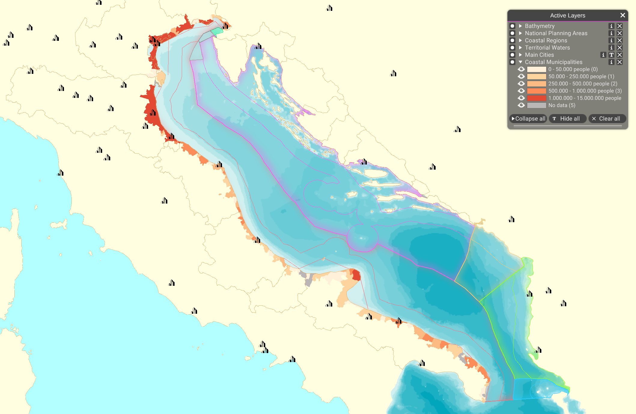
| 20:17, 28 September 2022 | Layer Coastal Municipalities.png (file) |  |
482 KB | Magali | 1 | |
| 09:35, 22 March 2022 | Layer Cities.png (file) |  |
500 KB | Magali | 1 | |
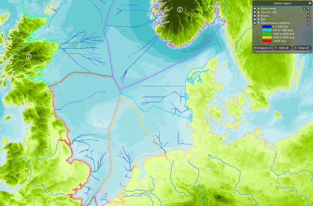
| 11:22, 10 May 2022 | Layer Maintenance Intensity.png (file) |  |
527 KB | Magali | 1 | |
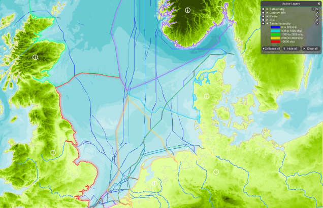
| 11:03, 10 May 2022 | Layer Tanker Intensity.png (file) |  |
535 KB | Magali | 1 | |
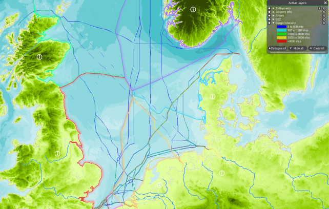
| 11:28, 10 May 2022 | Layer Cargo Intensity.png (file) |  |
540 KB | Magali | 1 | |
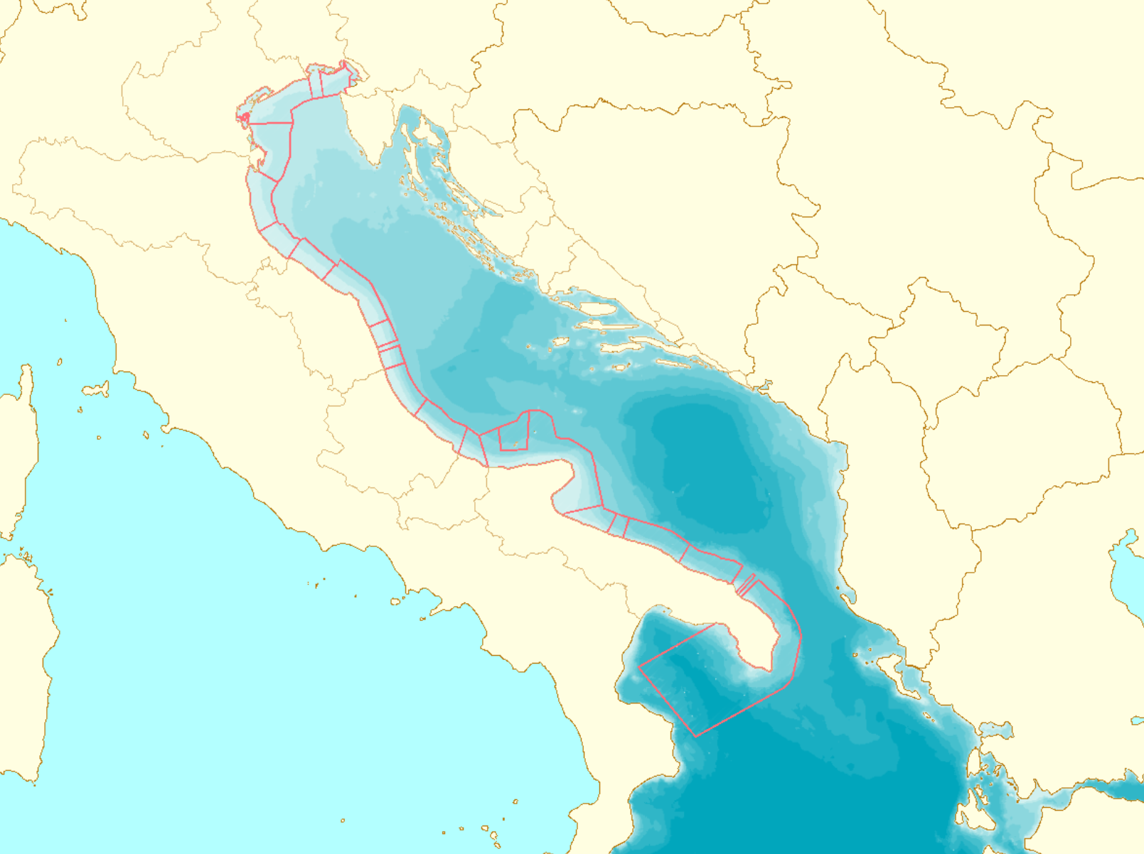
| 09:37, 22 March 2022 | Layer Coastal Regions.png (file) |  |
541 KB | Magali | 1 |
 Co-funded by the European Union.