This special page shows all uploaded files.
| Date | Name | Thumbnail | Size | Description | Versions |
|---|---|---|---|---|---|
| 14:58, 28 September 2022 | AS coastal municipalities.png (file) |  |
482 KB | 1 | |
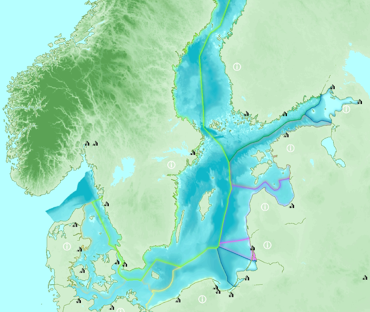
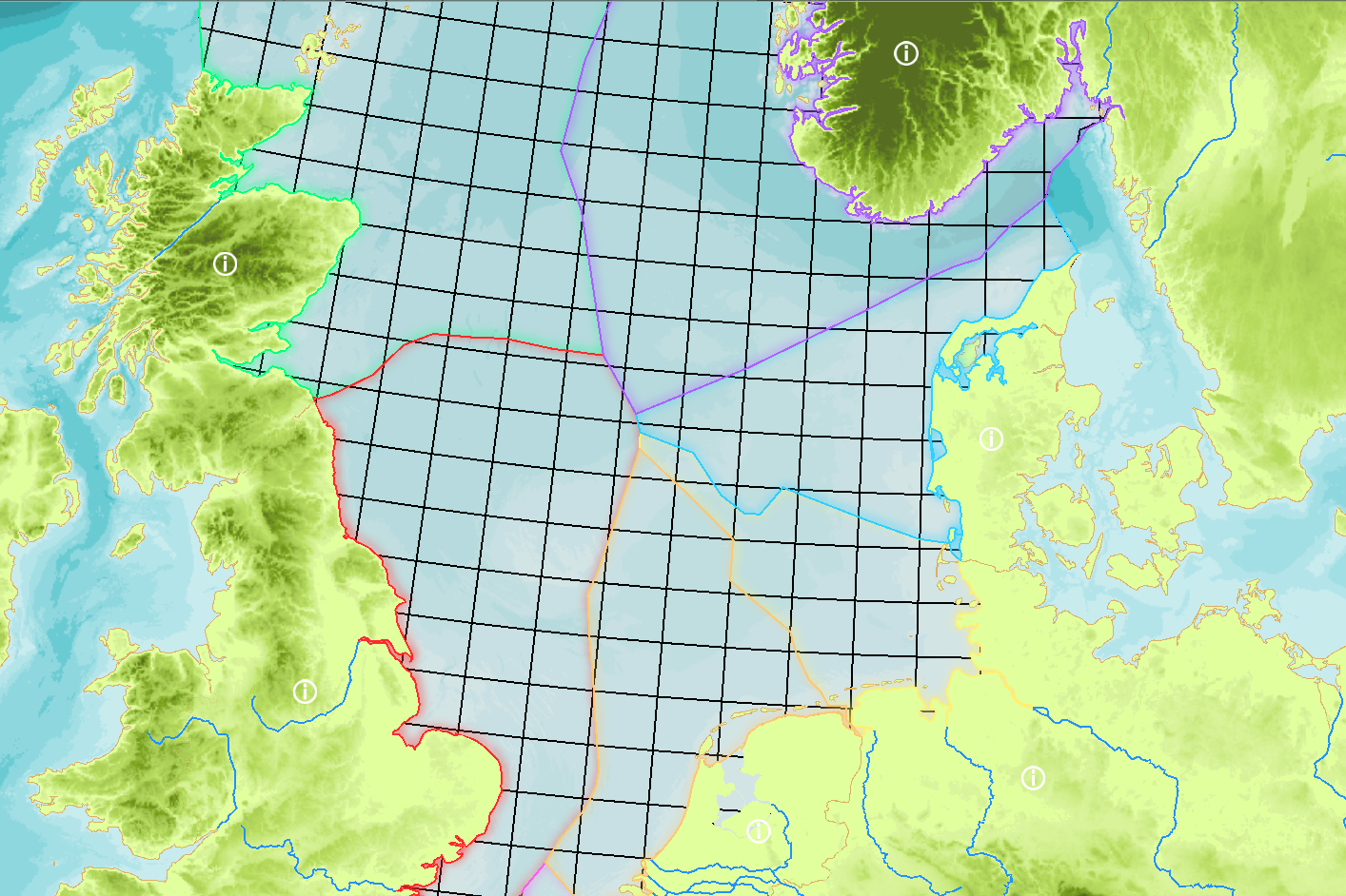
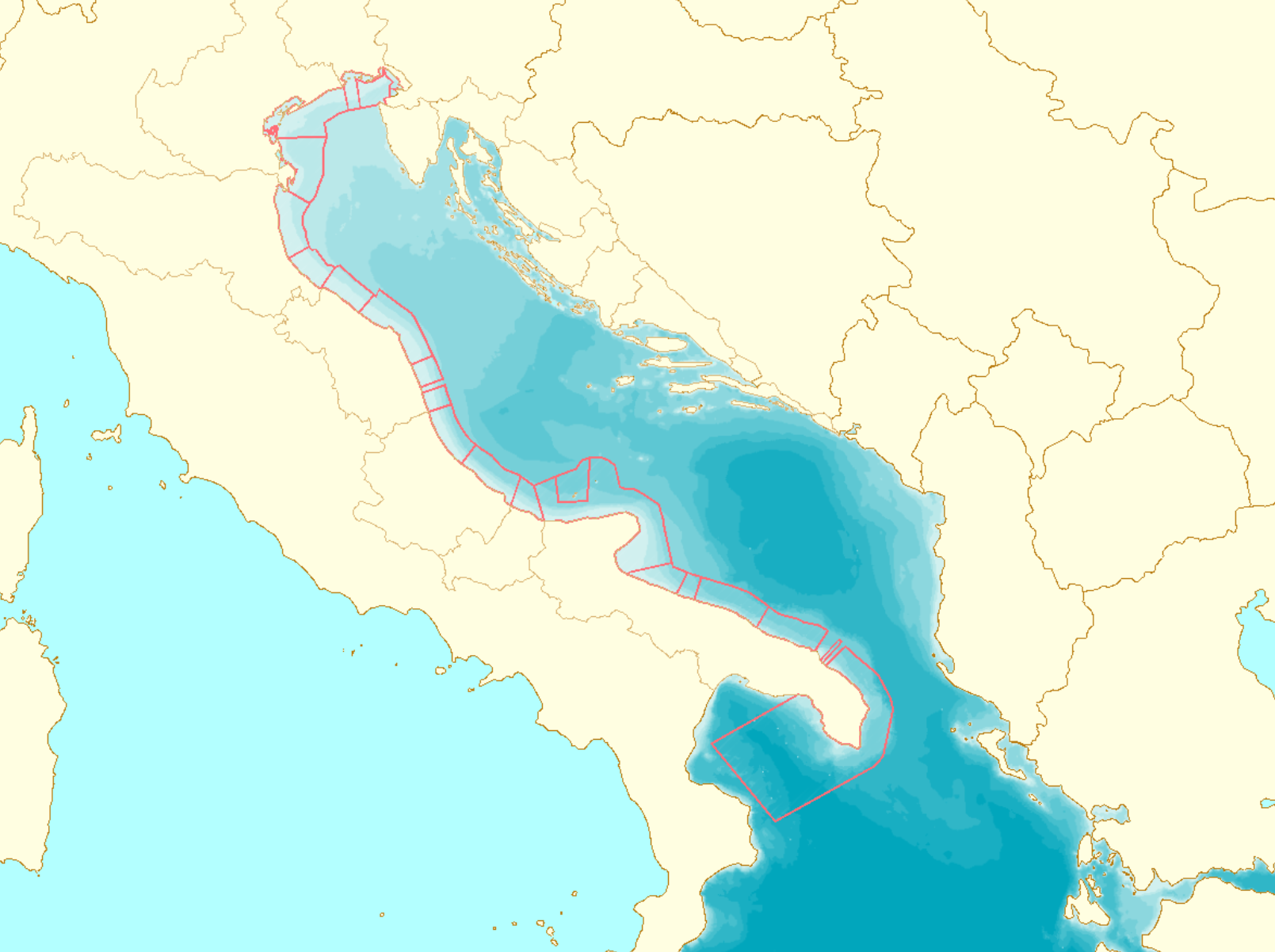
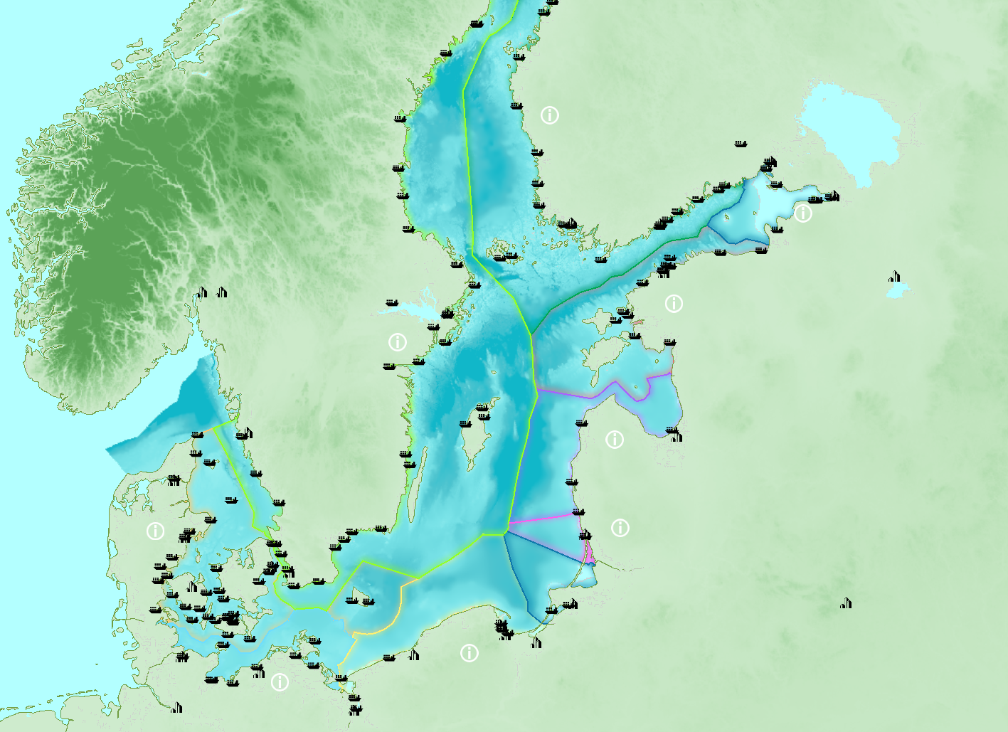
| 14:37, 8 June 2021 | BS EEZ.png (file) |  |
782 KB | Baltic Sea EEZ | 1 |
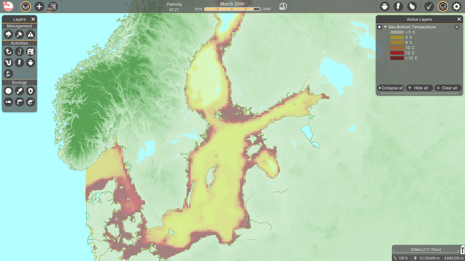
| 07:35, 6 July 2021 | BS bottom temperature.png (file) |  |
1.16 MB | 1 | |
| 16:11, 25 January 2022 | Bathymetry.png (file) |  |
845 KB | 1 | |
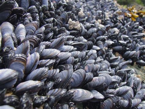
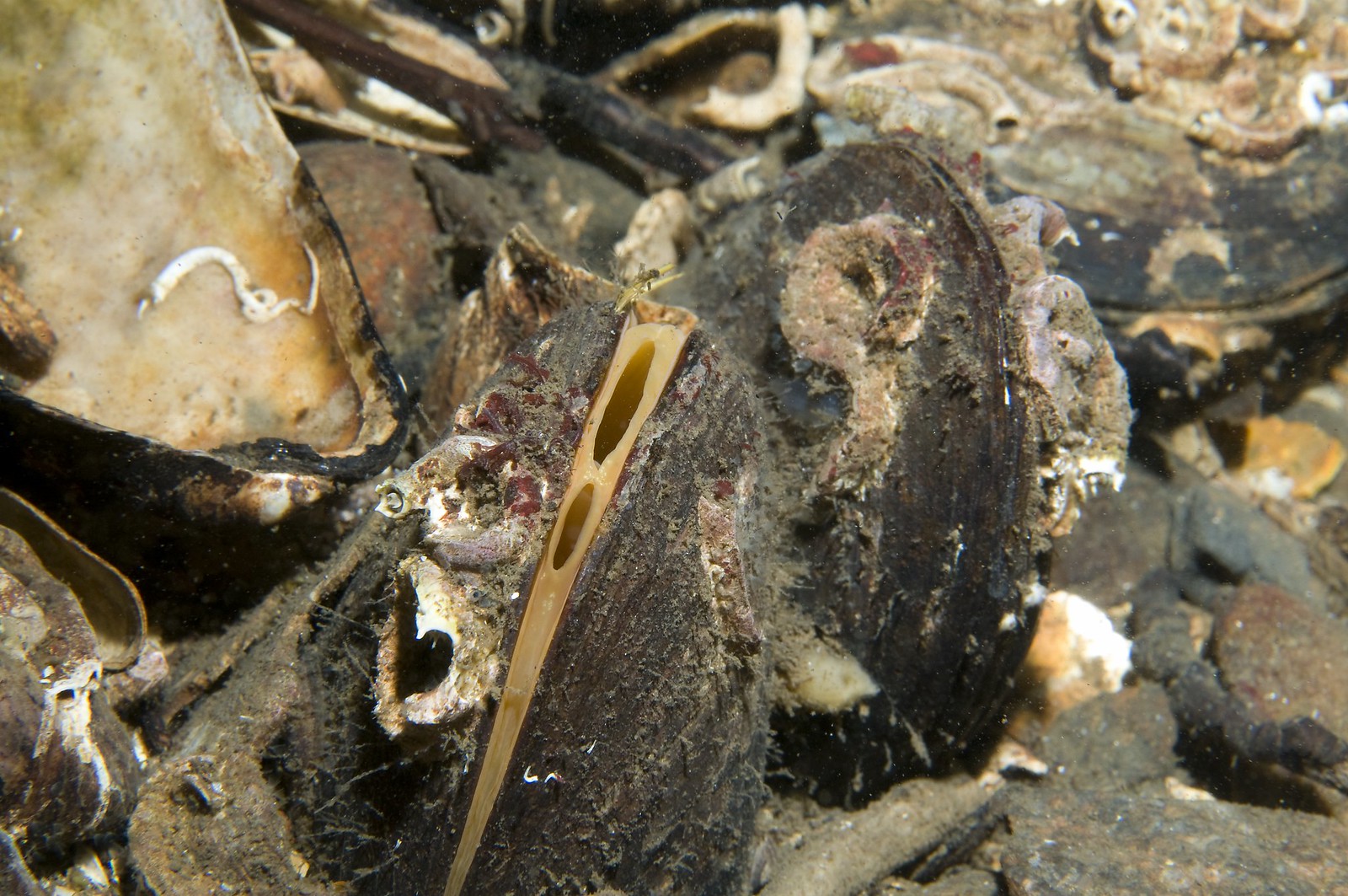
| 11:07, 15 February 2022 | Blue mussels.jpg (file) |  |
67 KB | “Blue Mussels”. Travis (2010). License: CC BY_NC 2.0. Not changed. Retrieved from https://www.flickr.com/photos/baggis/4751715152/ on 2022-02-15 | 1 |
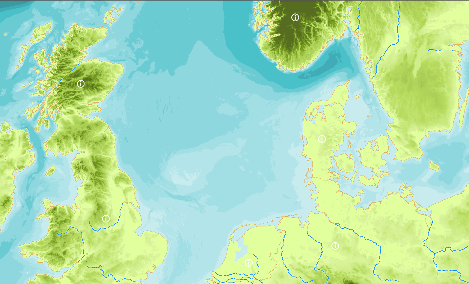
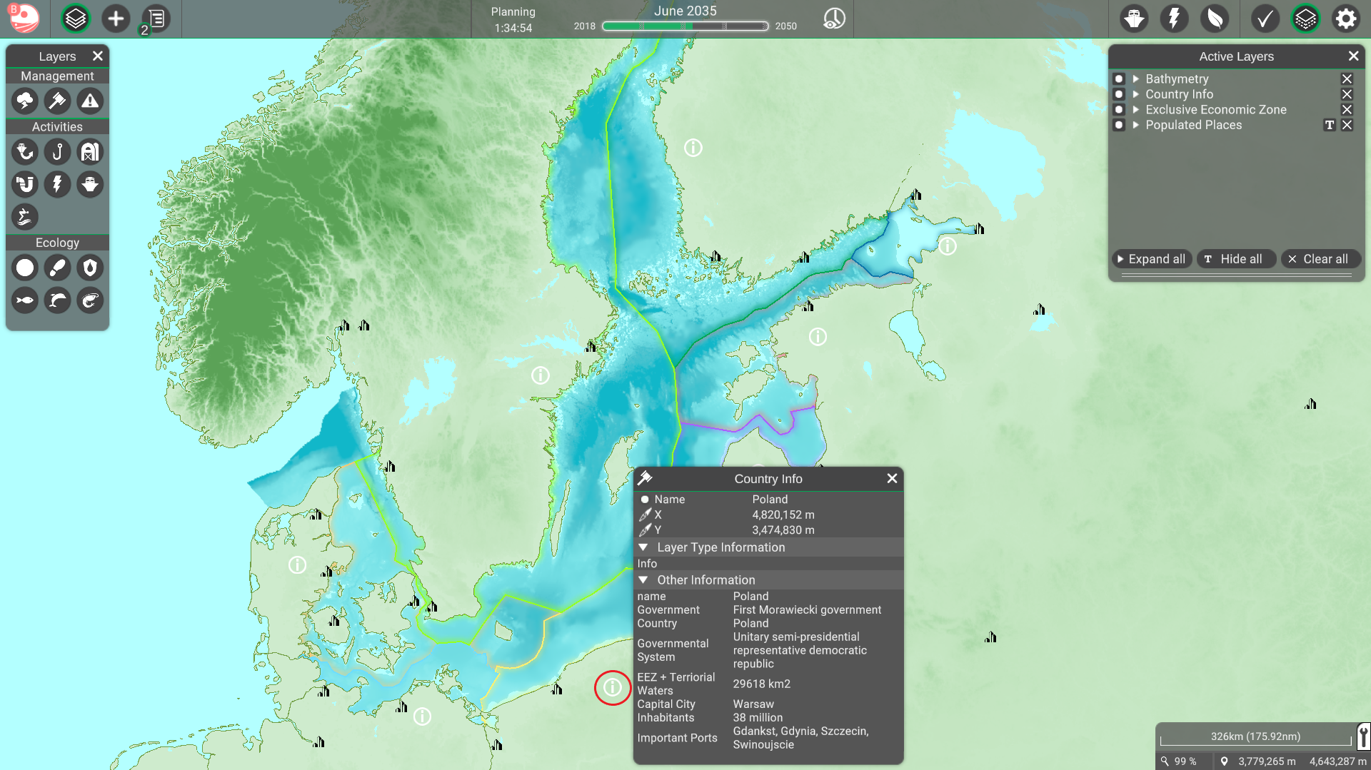
| 12:48, 5 July 2021 | Country info BS.png (file) |  |
1.42 MB | 1 | |
| 10:49, 15 March 2022 | HorseMussel.jpg (file) |  |
427 KB | 1 | |
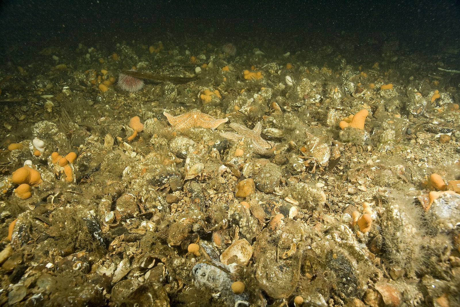
| 10:51, 15 March 2022 | HorseMusselBed.jpg (file) |  |
700 KB | 1 | |
| 16:05, 25 January 2022 | ICES rect.png (file) |  |
1,008 KB | 1 | |
| 11:46, 4 April 2022 | Layer Active Demersal Catch.png (file) |  |
1.75 MB | 1 | |
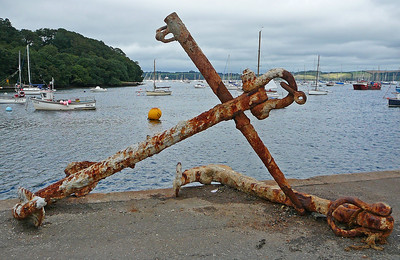
| 07:28, 9 May 2022 | Layer Anchorages.png (file) |  |
207 KB | Tim Green Anchor on the quayside at Mylor Taken on August 15, 2009 Some rights reserved https://www.flickr.com/photos/atoach/3867715873/ | 1 |
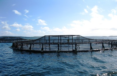
| 09:43, 3 October 2022 | Layer Aquaculture.png (file) |  |
157 KB | https://flickr.com/photos/usoceangov/15961903877/in/photostream/ Photo credits: "Aquaculture - Coastal net pens off the coast of Maine". NOAA's National Ocean Service (2011). Licence: CC BY 2.0. Not changed. Retrieved from flickr.com on 2022-10-03.Return to aquaculture. | 1 |
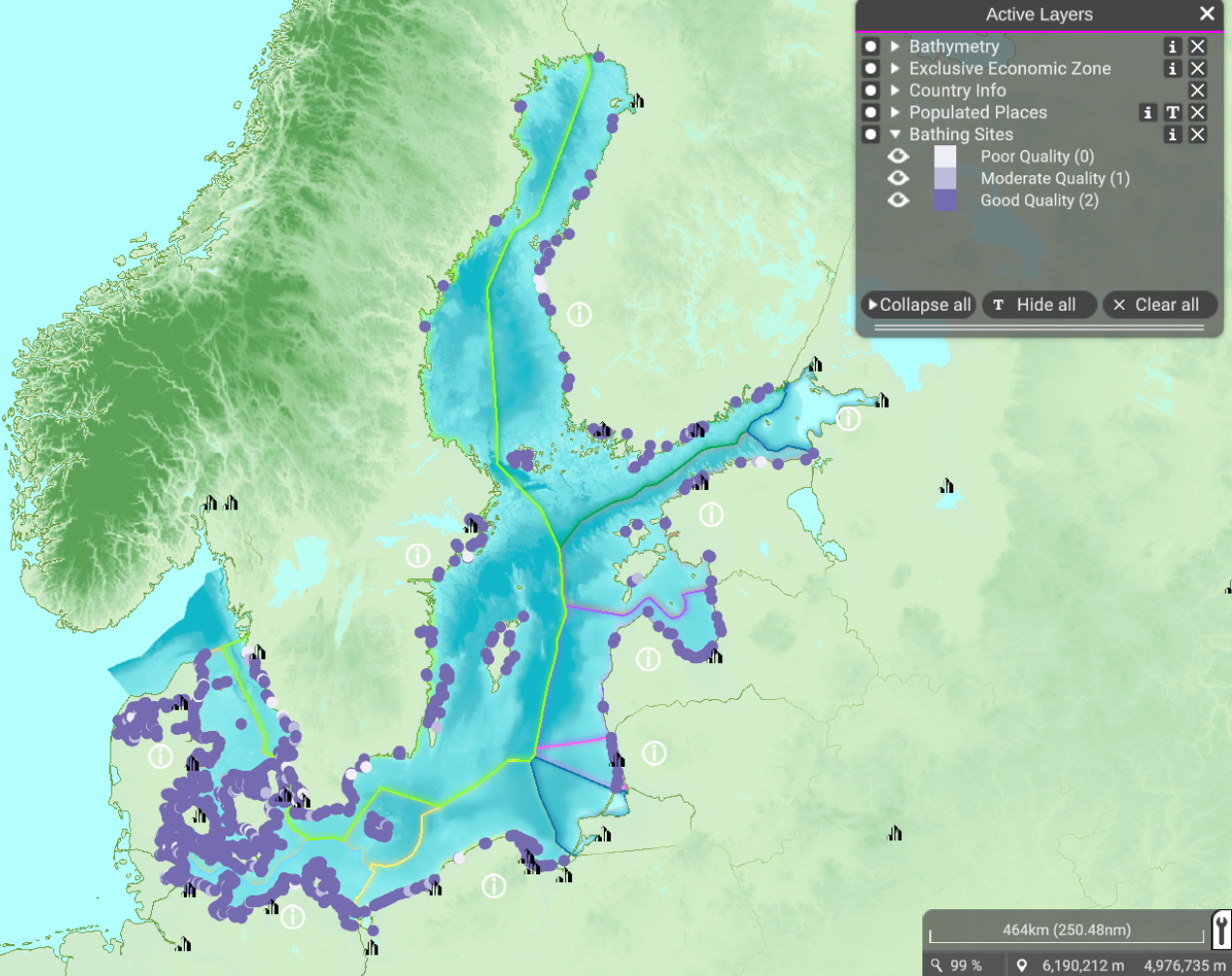
| 12:30, 19 September 2022 | Layer Bathing Sites.png (file) |  |
1.29 MB | 1 | |
| 11:49, 5 April 2022 | Layer Bottom Trawl Catch.png (file) |  |
229 KB | From the NS poster for Rijkswaterstaat | 1 |
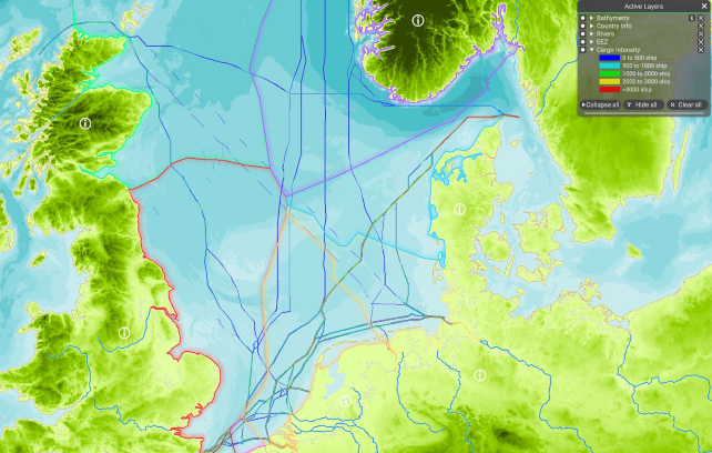
| 11:28, 10 May 2022 | Layer Cargo Intensity.png (file) |  |
540 KB | 1 | |
| 09:35, 22 March 2022 | Layer Cities.png (file) |  |
500 KB | 1 | |
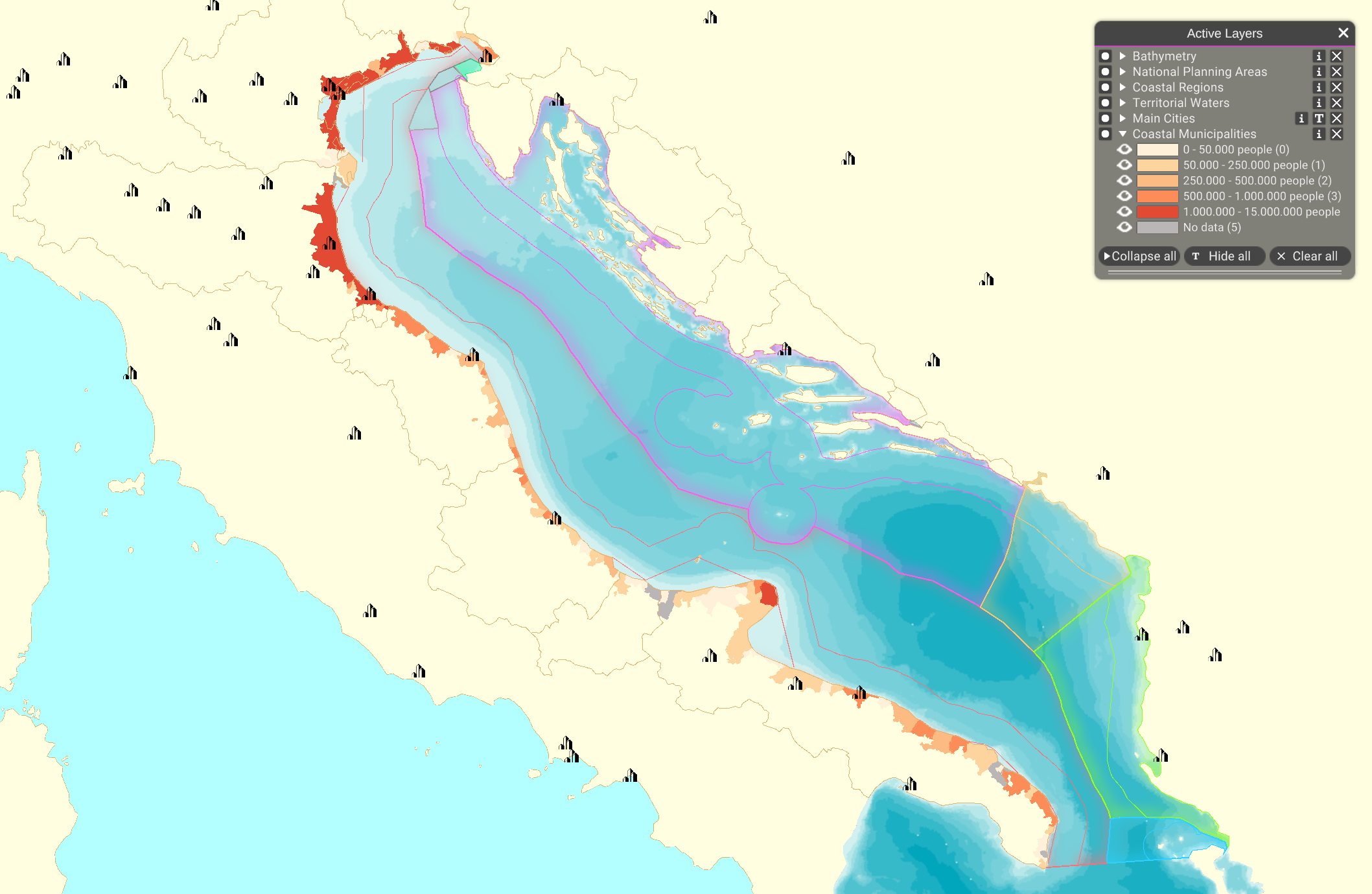
| 20:17, 28 September 2022 | Layer Coastal Municipalities.png (file) |  |
482 KB | 1 | |
| 09:37, 22 March 2022 | Layer Coastal Regions.png (file) |  |
541 KB | 1 | |
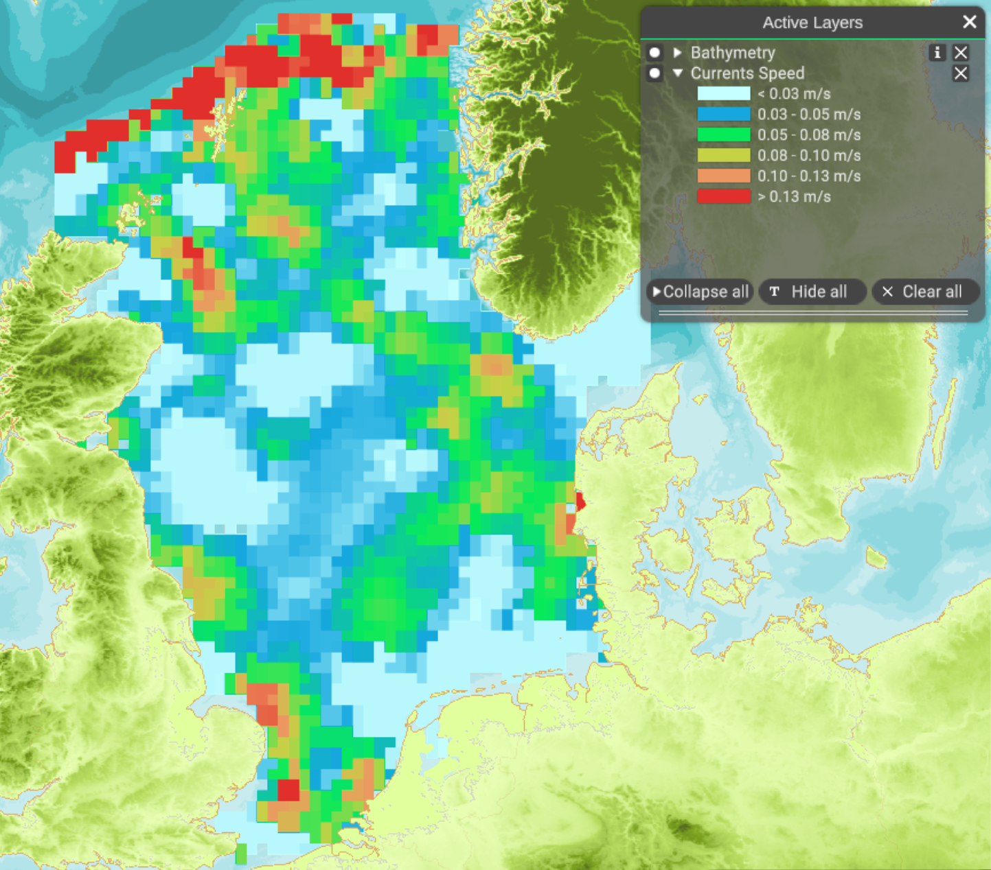
| 10:16, 8 February 2022 | Layer Currents Speed.png (file) |  |
1.57 MB | 1 | |
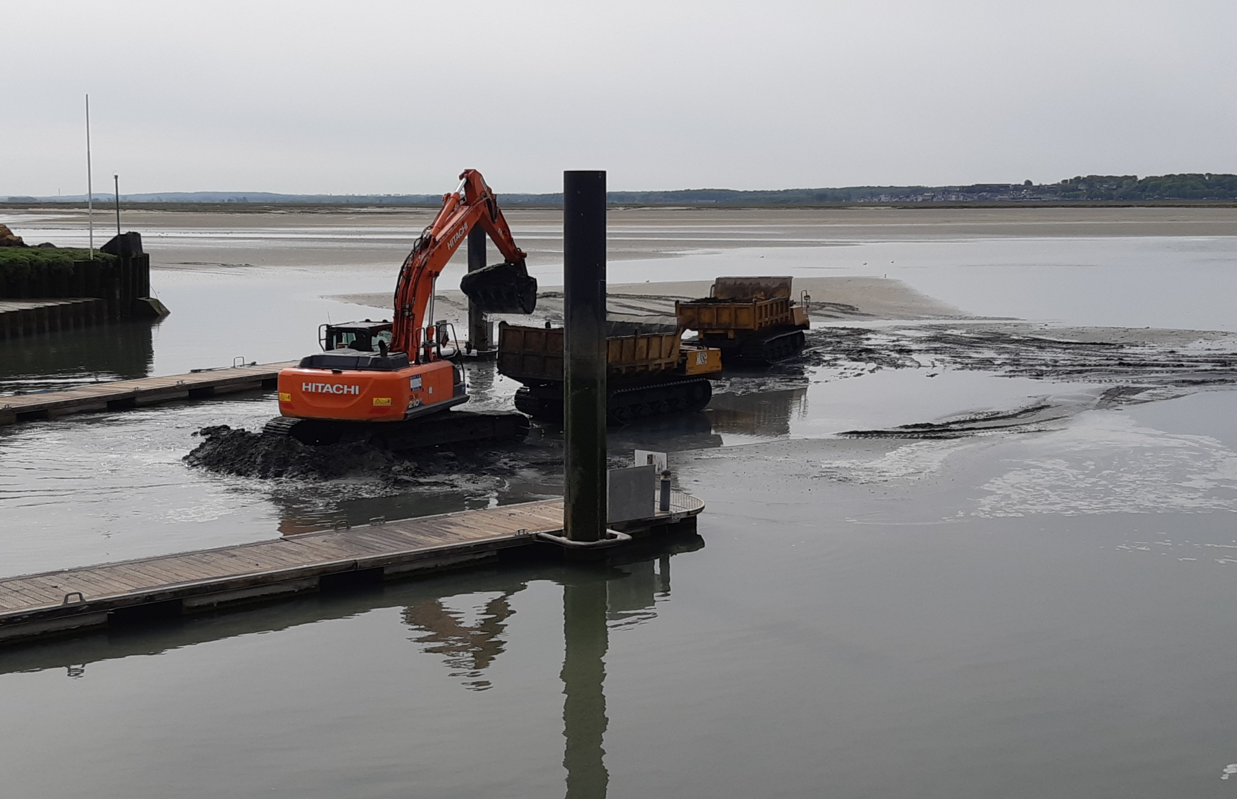
| 09:50, 10 May 2022 | Layer Dredging Sites.png (file) |  |
1.9 MB | Taken in "Le Cortoy", Baie de Somme, France in May 2022 by Magali Goncalves :D | 1 |
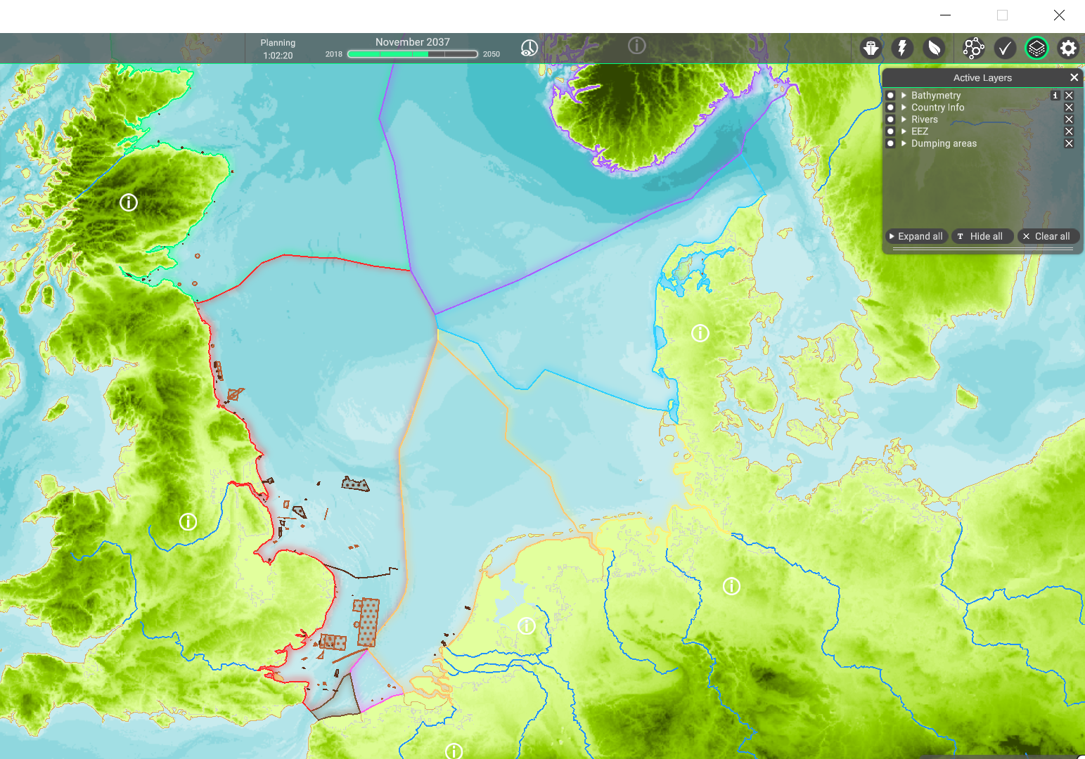
| 11:17, 25 April 2022 | Layer Dumping areas.png (file) |  |
1.33 MB | 1 | |
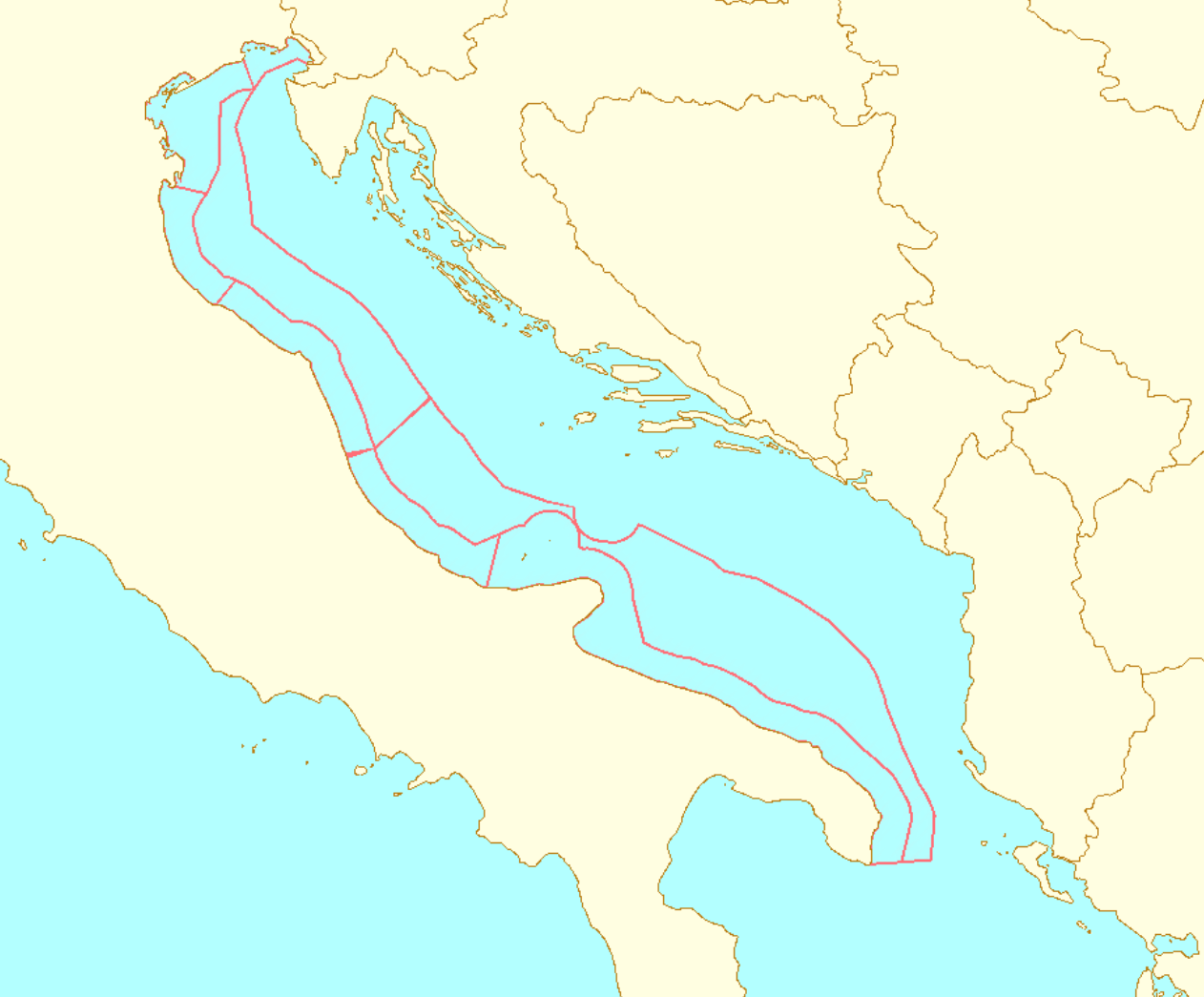
| 12:10, 22 March 2022 | Layer EEZ.png (file) |  |
1.04 MB | 3 | |
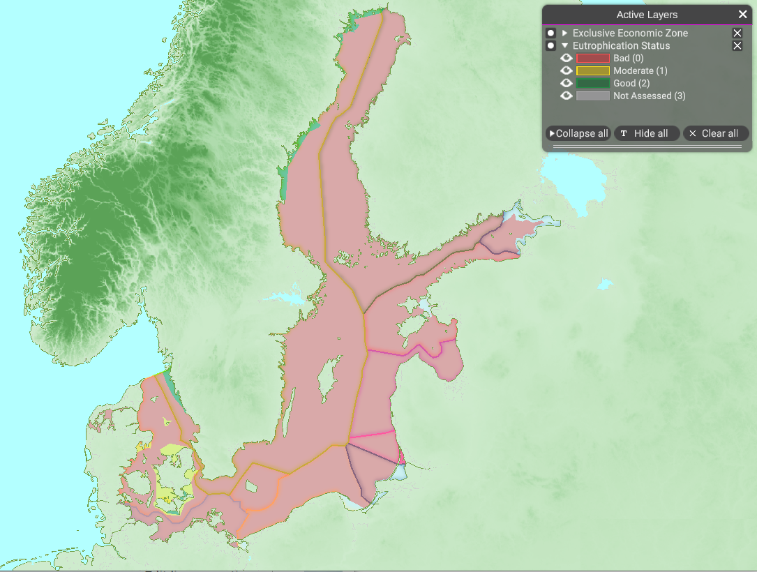
| 10:31, 8 February 2022 | Layer Eutrophication Status.png (file) |  |
718 KB | 1 | |
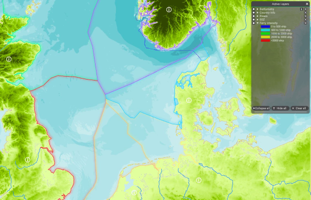
| 10:09, 10 May 2022 | Layer Ferry Intensity.png (file) |  |
458 KB | 1 | |
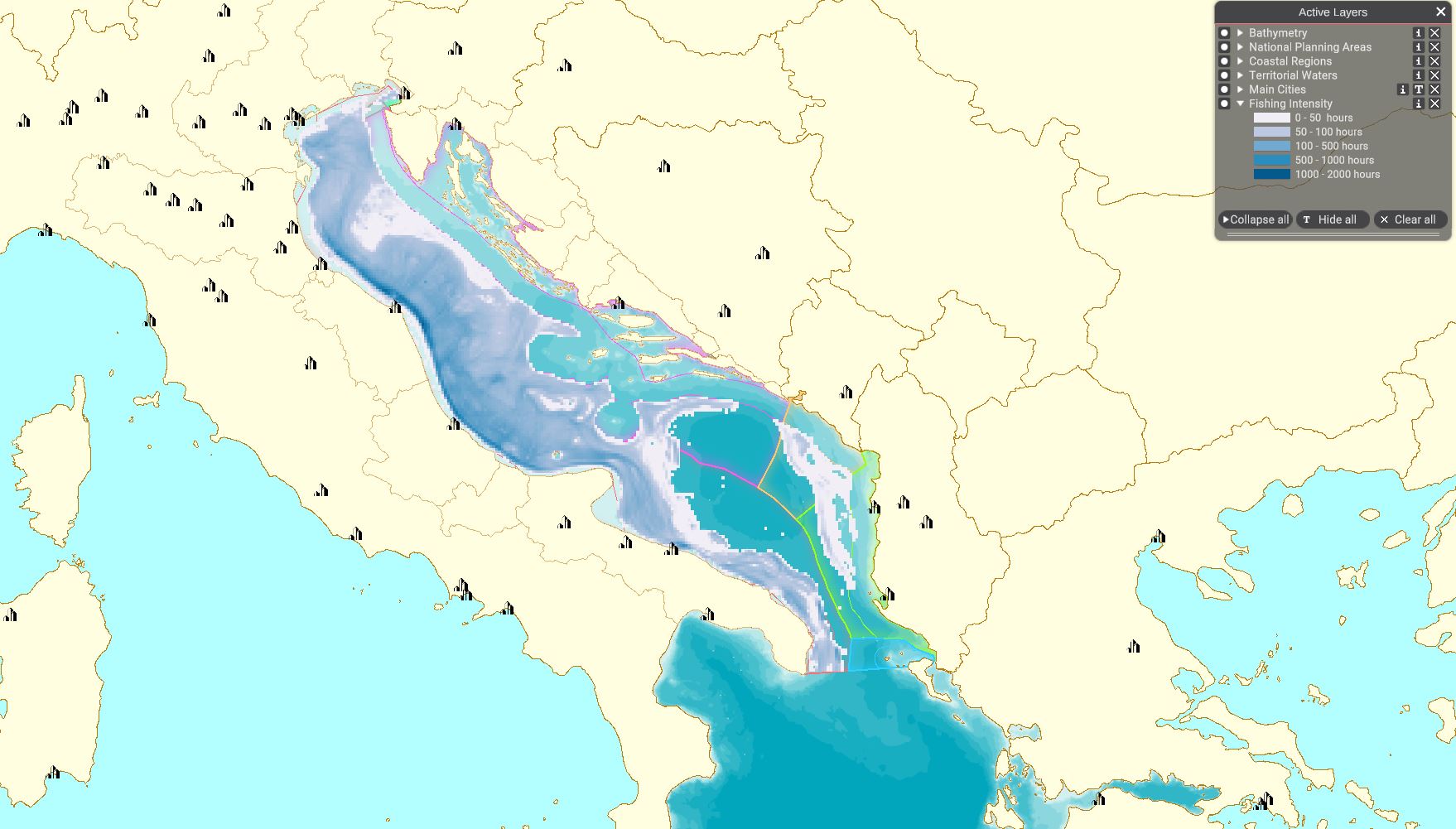
| 13:27, 8 April 2022 | Layer Fishing Intensity.JPG (file) |  |
193 KB | 1 | |
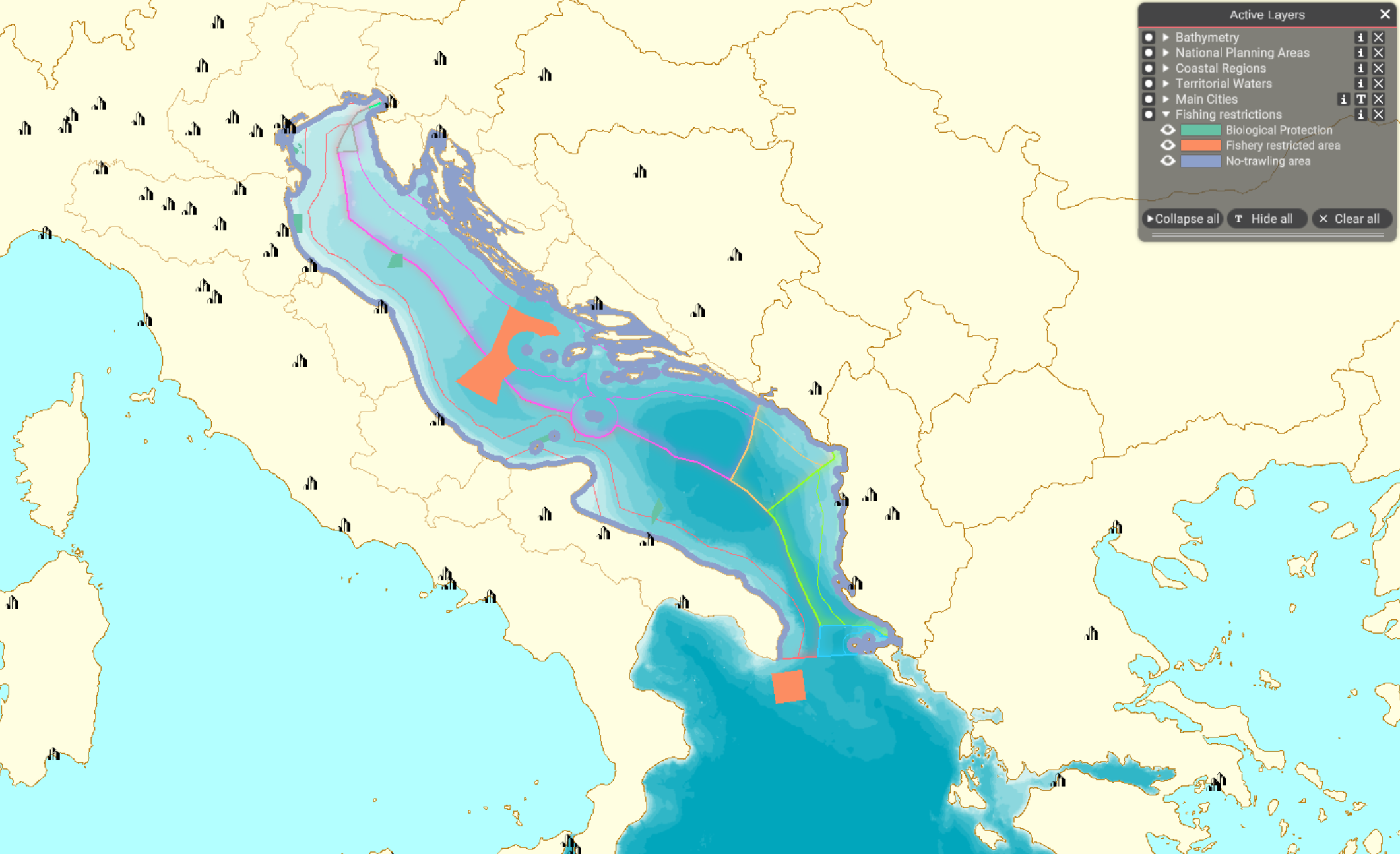
| 14:17, 5 April 2022 | Layer Fishing restrictions.png (file) |  |
710 KB | 1 | |
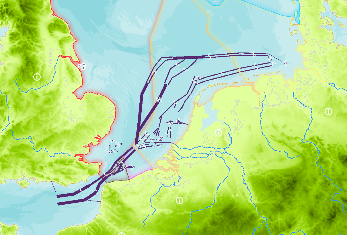
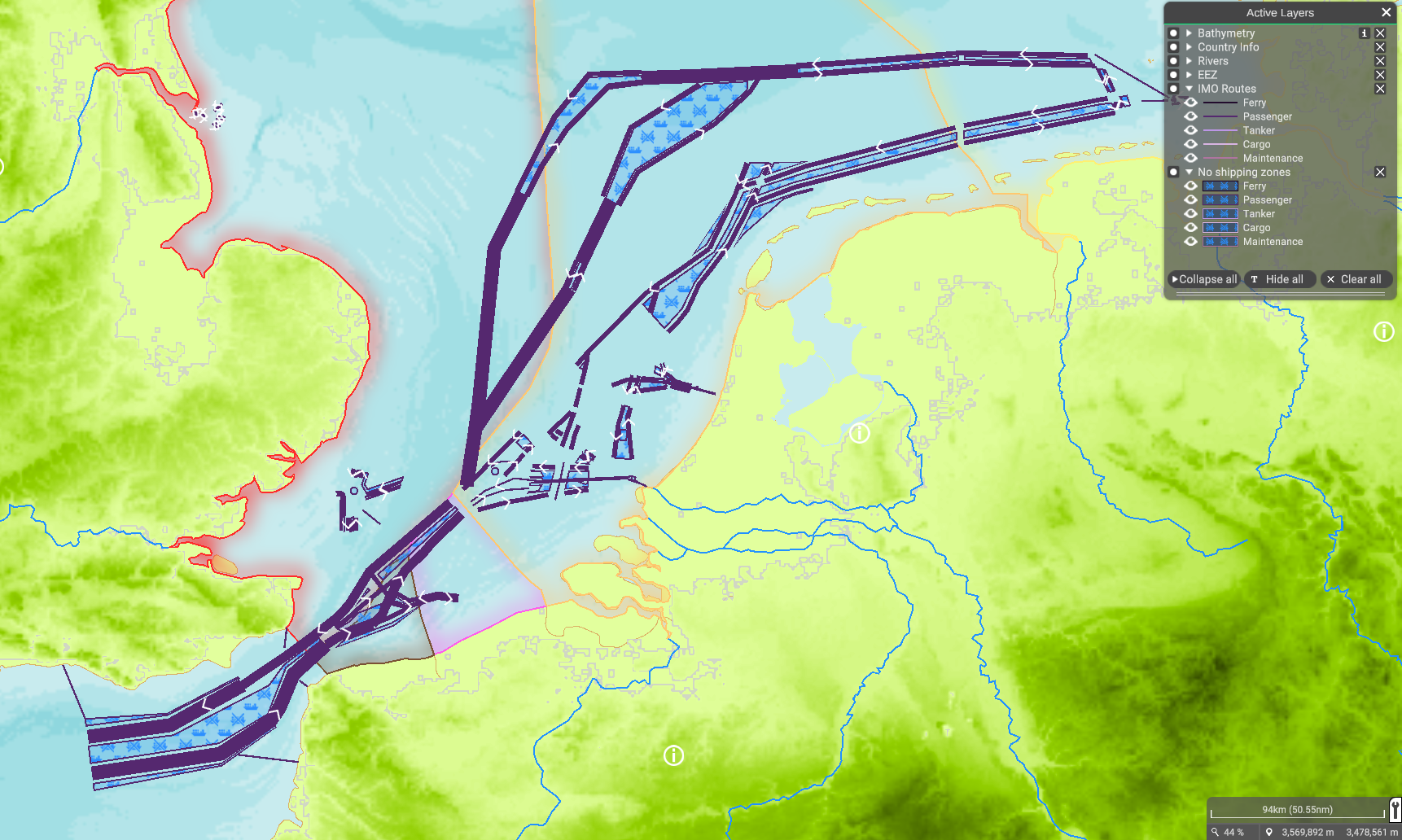
| 14:21, 25 April 2022 | Layer IMO Routes.png (file) |  |
726 KB | 1 | |
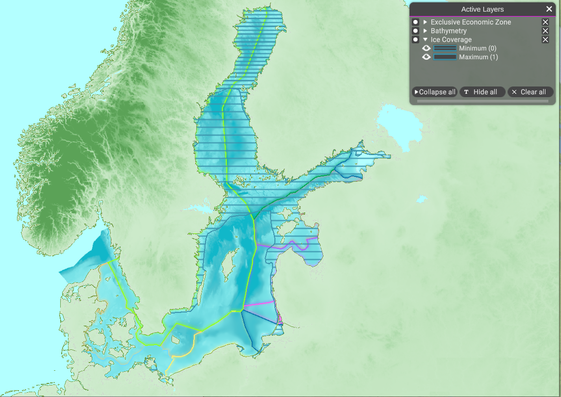
| 10:50, 8 February 2022 | Layer Ice Coverage.png (file) |  |
907 KB | 1 | |
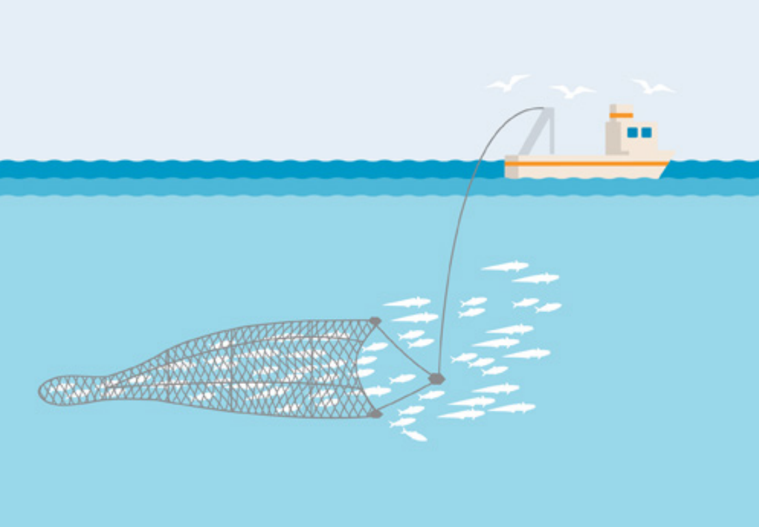
| 12:00, 5 April 2022 | Layer Industrial and Pelagic Trawl.png (file) |  |
412 KB | 1 | |
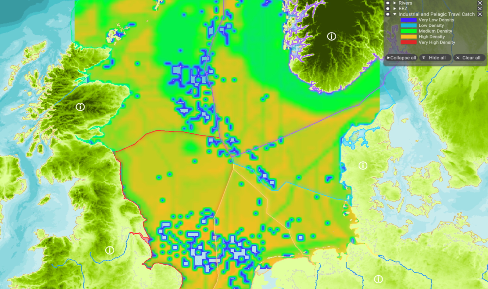
| 10:10, 4 April 2022 | Layer Industrial and Pelagic Trawl Catch.png (file) |  |
1.94 MB | 1 | |
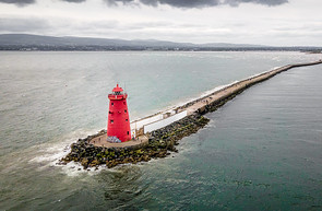
| 14:03, 14 September 2022 | Layer Lighthouses.png (file) |  |
92 KB | Giuseppe Milo Poolbeg Lighthouse - Dublin, Ireland https://www.flickr.com/photos/giuseppemilo/50743425471/ 2022-09-14 Cropped Attribution 2.0 Generic (CC BY 2.0) | 1 |
| 13:36, 22 March 2022 | Layer Local Authority Areas.png (file) |  |
829 KB | 1 | |
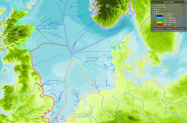
| 11:22, 10 May 2022 | Layer Maintenance Intensity.png (file) |  |
527 KB | 1 | |
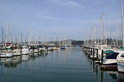
| 14:27, 19 September 2022 | Layer Marinas.png (file) |  |
145 KB | “Marina”. Yasmin (2013). Licence: CC BY-NC-ND 2.0. Not changed. Retrieved from flickr.com on 2022-09-19. | 1 |
| 13:19, 22 March 2022 | Layer Marine reporting units.png (file) |  |
403 KB | 1 | |
| 12:25, 22 March 2022 | Layer Maritime Compartments.png (file) |  |
459 KB | 1 | |
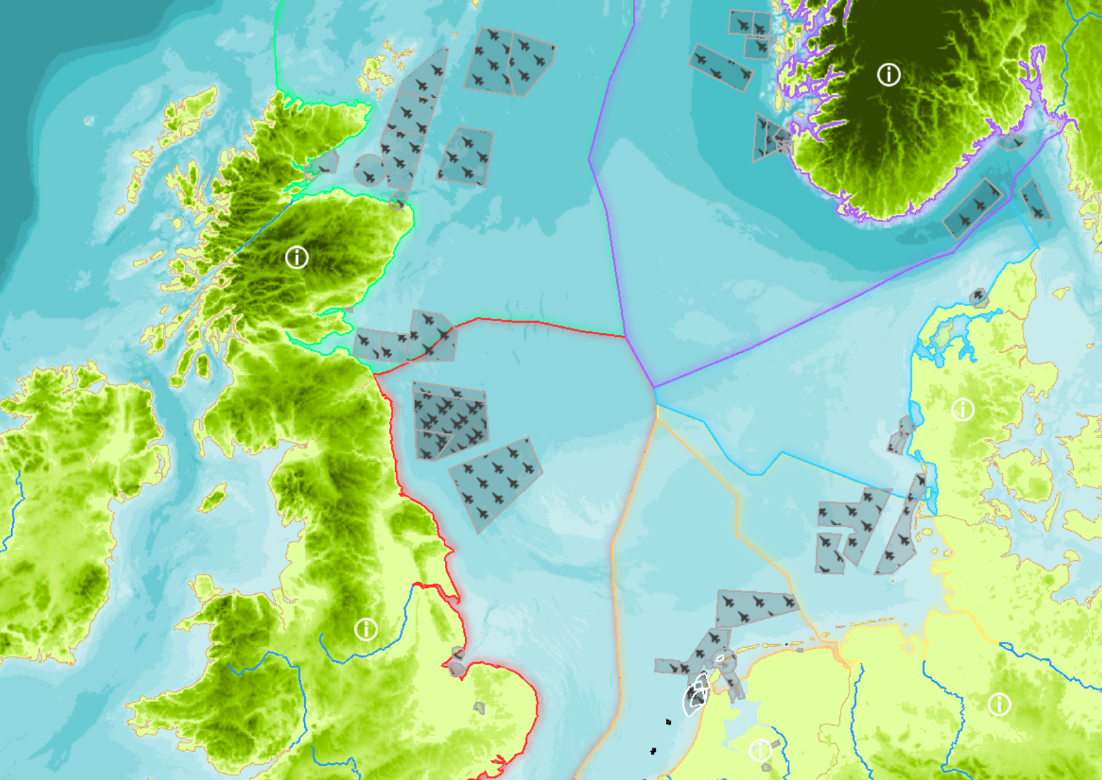
| 12:19, 22 March 2022 | Layer Military areas.png (file) |  |
1.54 MB | 2 | |
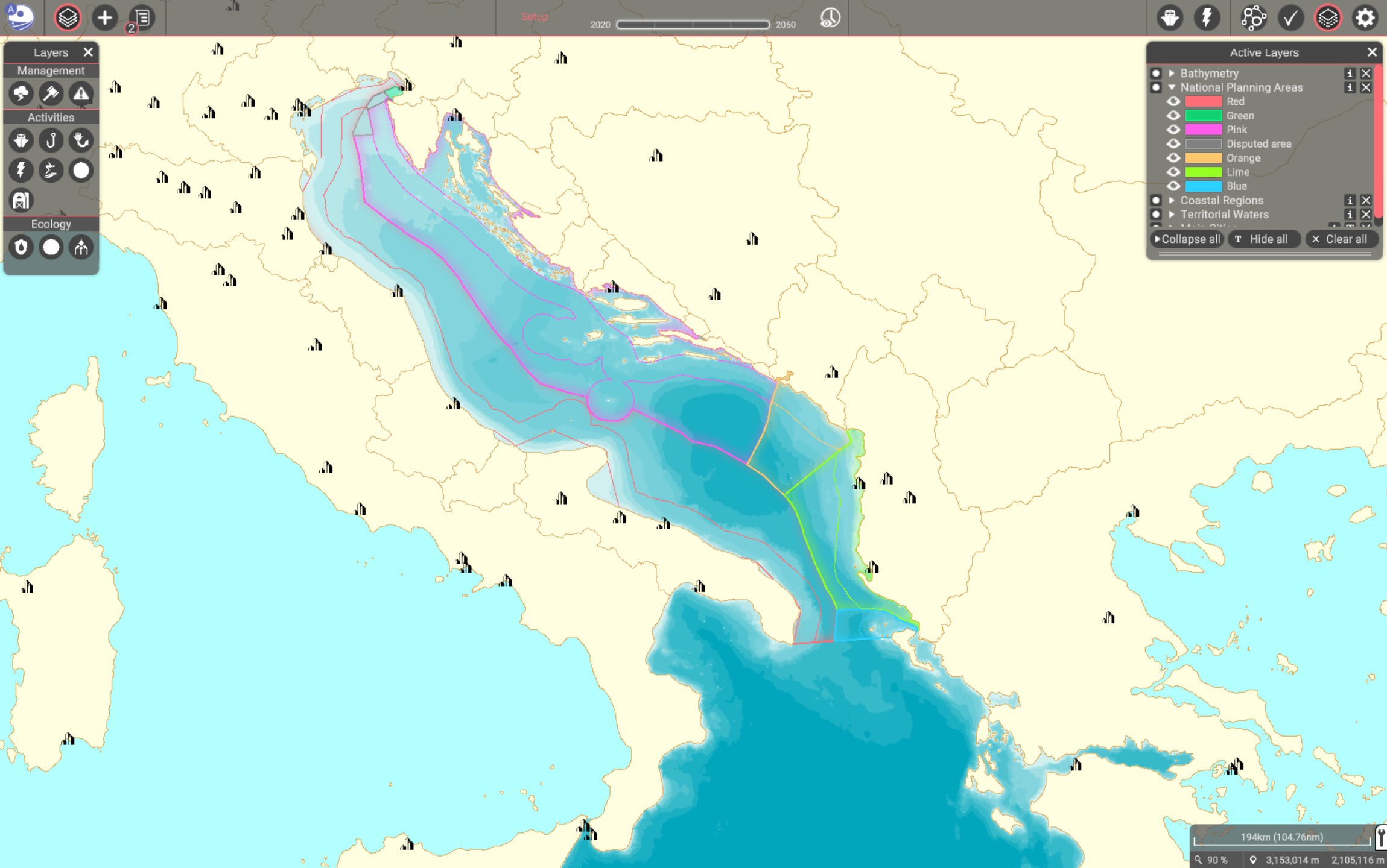
| 14:20, 21 March 2022 | Layer National Planning Areas.png (file) |  |
885 KB | 1 | |
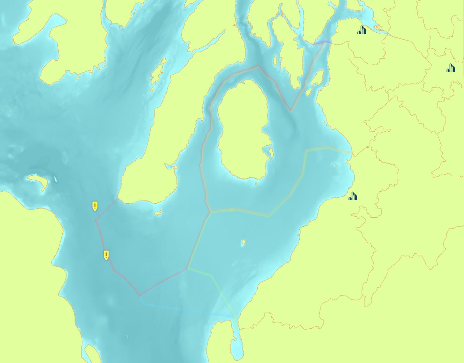
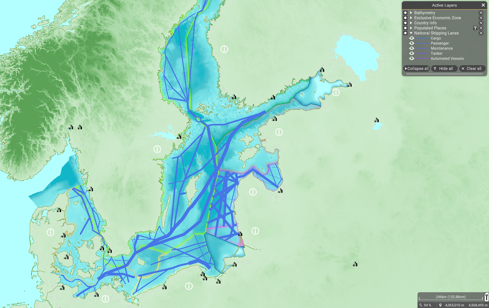
| 14:50, 25 April 2022 | Layer National Shipping Lanes.png (file) |  |
1.4 MB | 1 | |
| 09:00, 5 April 2022 | Layer Nephrops Trawl Catch.png (file) |  |
200 KB | best to show the gear than the layer in MSP | 2 |
| 09:21, 26 April 2022 | Layer No shipping zones.png (file) |  |
976 KB | 1 | |
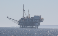
| 11:51, 4 July 2022 | Layer Oil & Gas Installations.png (file) |  |
37 KB | 1 | |
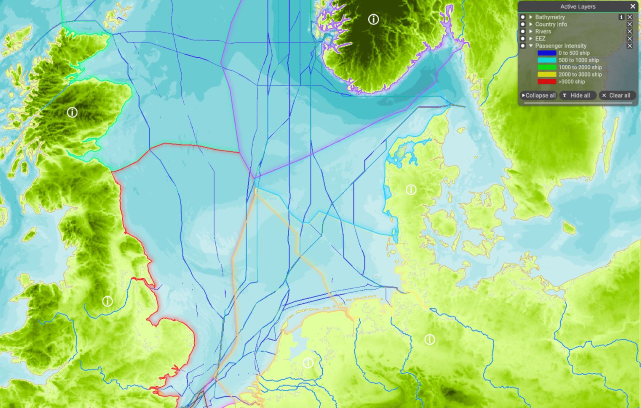
| 10:24, 10 May 2022 | Layer Passenger Intensity.png (file) |  |
544 KB | 1 | |
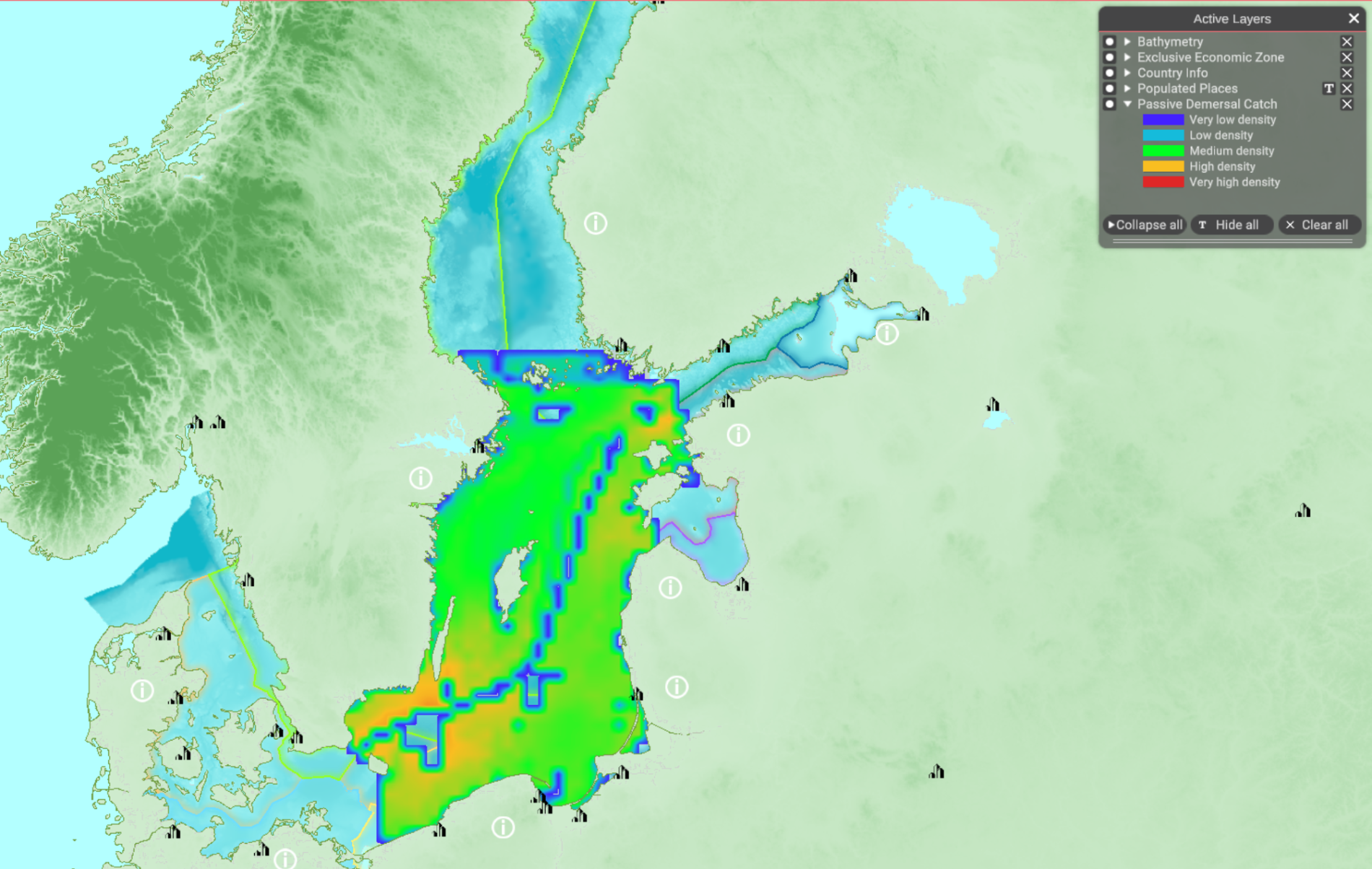
| 11:49, 4 April 2022 | Layer Passive Demersal Catch.png (file) |  |
1.89 MB | 1 | |
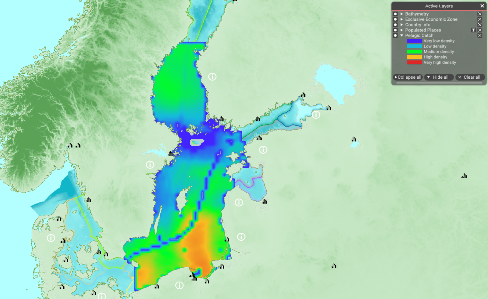
| 11:52, 4 April 2022 | Layer Pelagic Catch.png (file) |  |
1.84 MB | 1 | |
| 10:21, 22 March 2022 | Layer Planning Sub-areas.png (file) |  |
205 KB | 1 | |
| 09:11, 26 April 2022 | Layer Ports.png (file) |  |
1.24 MB | 1 | |
| 14:33, 14 September 2022 | Layer Recreational Fishing.png (file) |  |
171 KB | https://www.flickr.com/photos/uwiscseagrant/51827826187/ Aquatic Sciences Center Recreational Fishing Taking to the water with fishing nets to scoop up their take, these recreational fishers enjoy a day in Wisconsin's Lake Michigan. Taken on July 1, 2017 Some rights reserved Attribution-NonCommercial 2.0 Generic (CC BY-NC 2.0) | 1 |
| 15:17, 31 August 2022 | Layer Recreational Interest.png (file) |  |
574 KB | Lollie-Pop "Surfing!" | 1 |
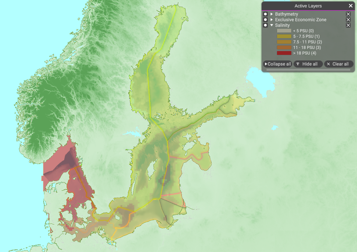
| 13:33, 8 February 2022 | Layer Salinity.png (file) |  |
848 KB | 1 |
 Co-funded by the European Union.