This special page shows all uploaded files.
| Date | Name | Thumbnail | Size | Description | Versions |
|---|---|---|---|---|---|
| 12:21, 21 March 2022 | Governance.png (file) |  |
2 KB | 1 | |
| 12:21, 21 March 2022 | Energy.png (file) |  |
3 KB | 1 | |
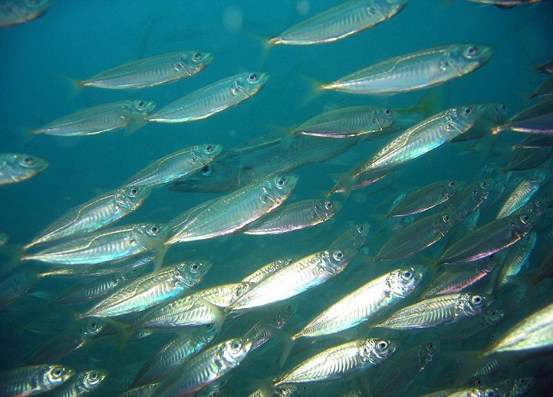
| 13:09, 21 March 2022 | Fish.png (file) |  |
3 KB | 1 | |
| 12:23, 21 March 2022 | Fishing.png (file) |  |
3 KB | 1 | |
| 13:09, 21 March 2022 | Birds and mammals.png (file) |  |
3 KB | 1 | |
| 12:22, 21 March 2022 | Pressures.png (file) |  |
3 KB | 1 | |
| 10:46, 21 March 2022 | Aquaculture.png (file) |  |
3 KB | 1 | |
| 12:23, 21 March 2022 | Natural resources.png (file) |  |
3 KB | 1 | |
| 12:22, 21 March 2022 | Shipping.png (file) |  |
3 KB | 1 | |
| 12:23, 21 March 2022 | Protected areas.png (file) |  |
3 KB | 1 | |
| 12:23, 21 March 2022 | Environmental conditions.png (file) |  |
3 KB | 1 | |
| 12:21, 21 March 2022 | Cables and pipelines.png (file) |  |
4 KB | 1 | |
| 13:09, 21 March 2022 | Macrobenthos.png (file) |  |
4 KB | 1 | |
| 12:22, 21 March 2022 | Recreational.png (file) |  |
4 KB | 1 | |
| 08:14, 14 April 2018 | Nslime.png (file) |  |
9 KB | 1 | |
| 07:54, 14 April 2018 | Nspink.png (file) |  |
12 KB | 1 | |
| 10:24, 9 August 2018 | MSP Logo General.png (file) | 27 KB | 1 | ||
| 13:19, 11 April 2018 | Scomber scombrus.png (file) |  |
30 KB | 1 | |
| 13:29, 6 March 2018 | MSP Logo Baltic.png (file) | 31 KB | 1 | ||
| 13:29, 6 March 2018 | MSP Logo NorthSea.png (file) | 31 KB | 1 | ||
| 13:29, 6 March 2018 | MSP Logo Clyde.png (file) | 34 KB | 1 | ||
| 13:49, 7 March 2018 | TSS Example.png (file) |  |
39 KB | 2 | |
| 08:13, 6 March 2018 | Bottom-Trawl.png (file) |  |
40 KB | https://www.msc.org/healthy-oceans/sustainable-fishing/fishing-methods-and-gear-types/demersal-bottom-trawls | 1 |
| 19:16, 21 April 2021 | MSP Logo Adriatic.png (file) | 54 KB | 1 | ||
| 07:59, 14 April 2018 | Nsyellow.png (file) |  |
68 KB | 1 | |
| 08:15, 14 April 2018 | Nsblue.png (file) |  |
79 KB | 1 | |
| 15:34, 5 March 2018 | NS Industrial Trawl Flow.png (file) |  |
80 KB | 1 | |
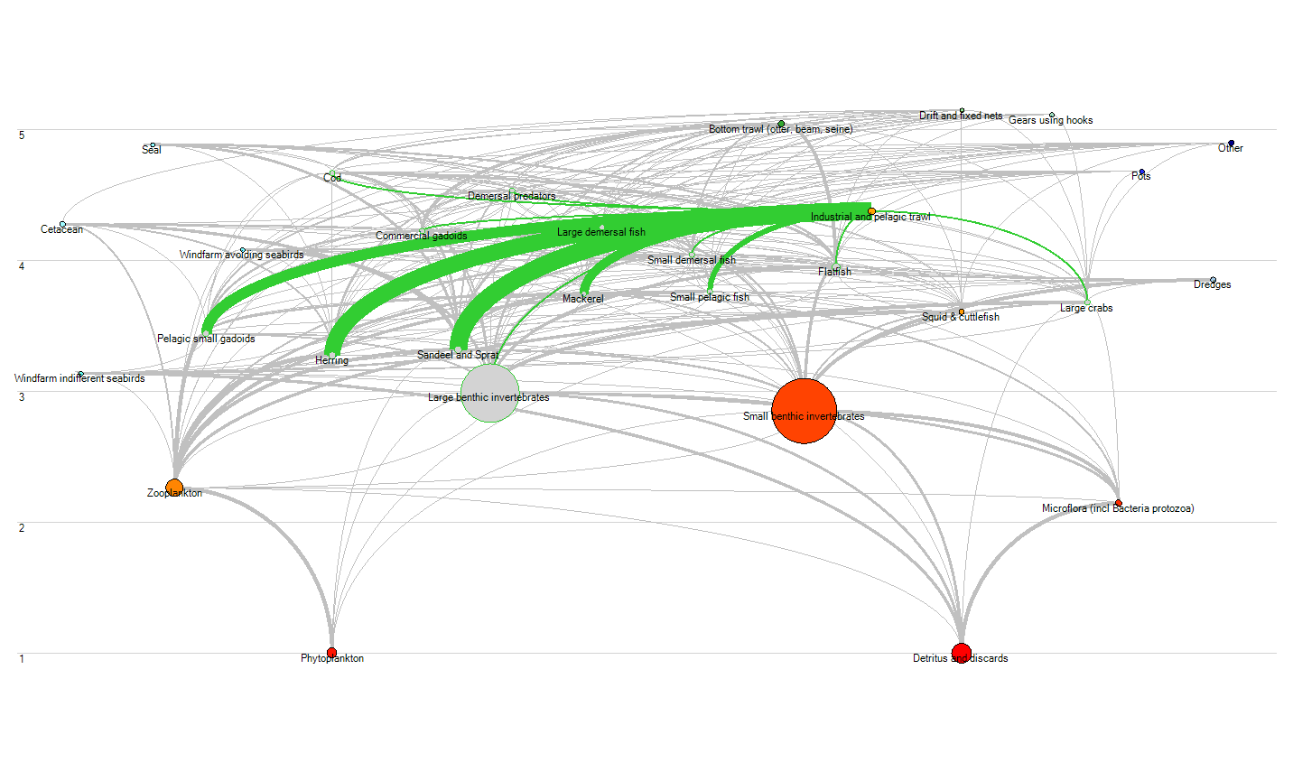
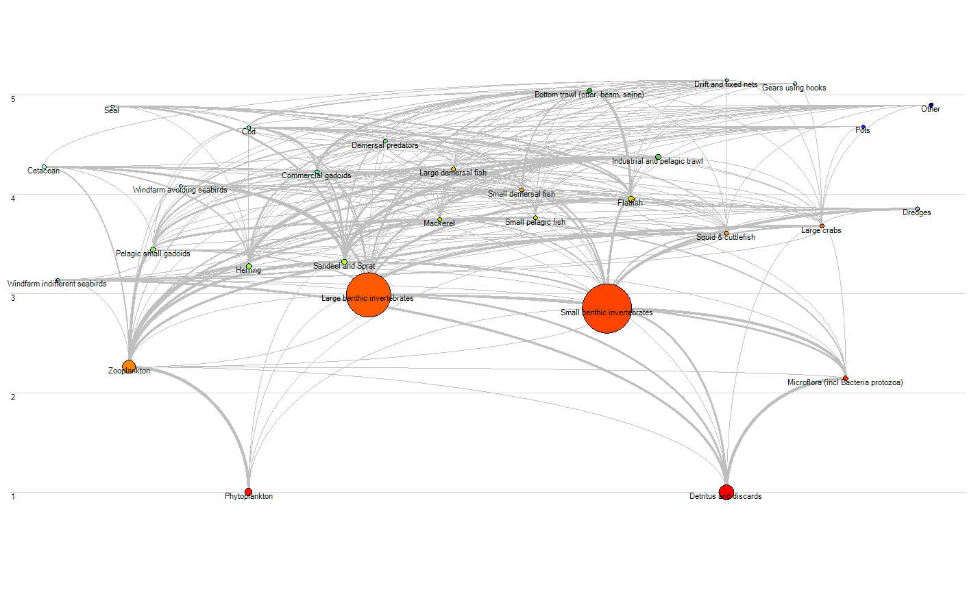
| 15:34, 5 March 2018 | NS Flow Diagram.png (file) |  |
81 KB | 1 | |
| 09:39, 6 March 2018 | Mackerel Example.jpg (file) |  |
83 KB | https://www.flickr.com/photos/rling/438036244/ | 1 |
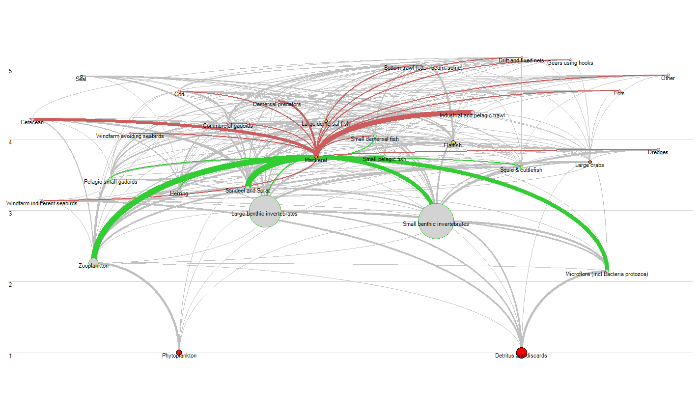
| 09:42, 6 March 2018 | NS Mackerel Flow.png (file) |  |
84 KB | 1 | |
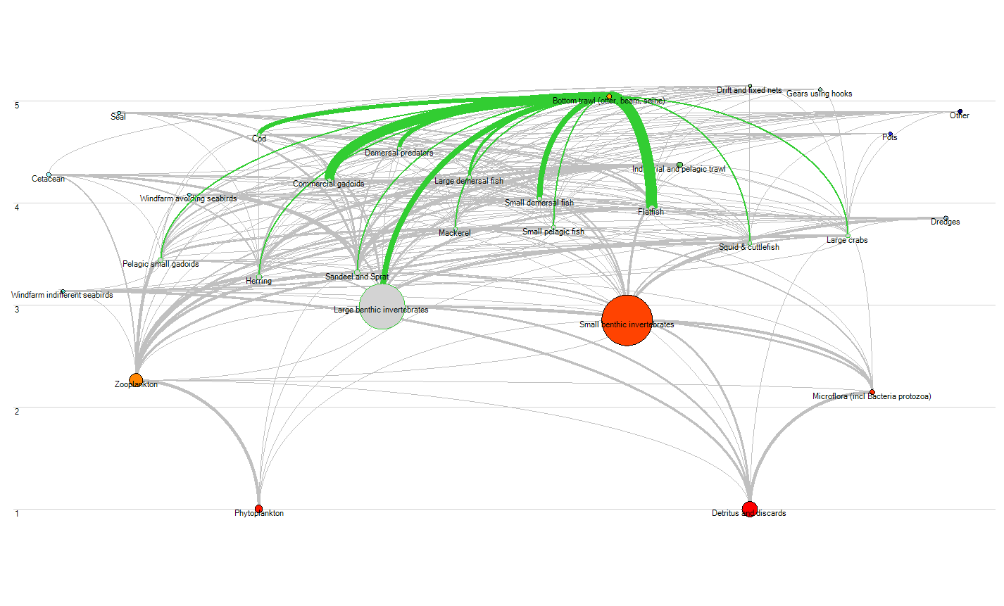
| 15:34, 5 March 2018 | NS Bottom Trawl Flow.png (file) |  |
84 KB | 1 | |
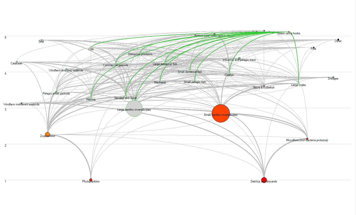
| 15:34, 5 March 2018 | NS Hooks Flow.png (file) |  |
84 KB | 1 | |
| 15:34, 5 March 2018 | NS Nets Flow.png (file) |  |
85 KB | 1 | |
| 09:10, 1 March 2018 | Natura 2000.png (file) |  |
86 KB | 1 | |
| 10:35, 14 April 2018 | Traffic ACCEAS.jpg (file) |  |
86 KB | 1 | |
| 08:10, 14 April 2018 | Nsorange.png (file) |  |
87 KB | 1 | |
| 07:42, 14 April 2018 | Nsgreen.png (file) |  |
100 KB | 1 | |
| 07:48, 14 April 2018 | Nsred.png (file) |  |
113 KB | 1 | |
| 12:52, 26 June 2018 | The Marine Spatial Planning Directive.jpeg (file) |  |
123 KB | 1 | |
| 12:02, 7 March 2018 | Kayak Example.jpg (file) |  |
136 KB | 1 | |
| 08:19, 14 April 2018 | Nspurple.png (file) |  |
149 KB | 1 | |
| 13:54, 7 March 2018 | CruiseShip.jpg (file) |  |
165 KB | 1 | |
| 16:25, 18 November 2020 | NSBrown.png (file) |  |
168 KB | 1 | |
| 13:16, 6 March 2018 | Wind Turbine Example X.jpeg (file) |  |
176 KB | http://www.powermag.com/changing-winds-the-evolving-wind-turbine/ | 1 |
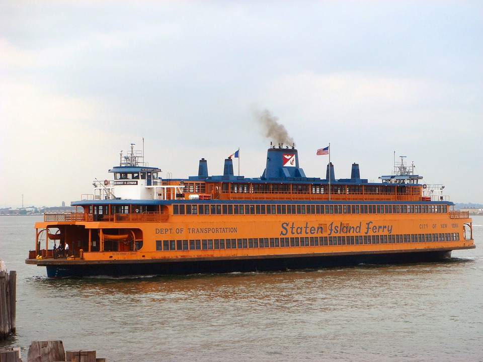
| 13:55, 7 March 2018 | FerryShip.jpg (file) |  |
176 KB | 1 | |
| 13:44, 7 March 2018 | Ship Example.jpg (file) |  |
217 KB | 1 | |
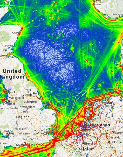
| 10:35, 14 April 2018 | Ais tracks marine traffic google NorthSEE proto.jpg (file) |  |
220 KB | 1 | |
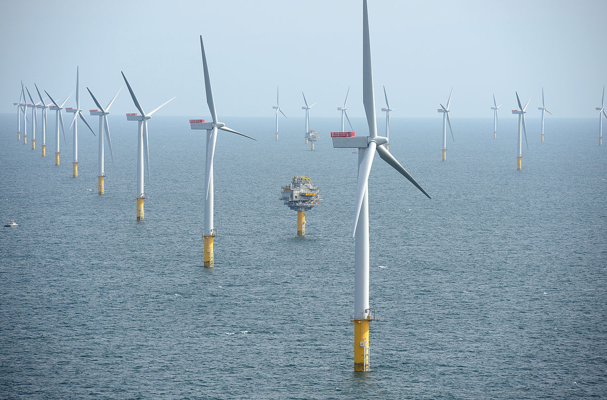
| 09:03, 5 March 2018 | Wind Farm Example.jpg (file) |  |
232 KB | 1 | |
| 20:28, 10 June 2021 | Layer Bathymetry.png (file) |  |
255 KB | 1 | |
| 10:34, 14 April 2018 | Snapshot traffic Channel and western NorthSEE.jpg (file) |  |
264 KB | 1 |
 Co-funded by the European Union.