Showing below up to 89 results in range #201 to #289.
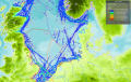
- Layer Sediments.png
- LayerType Active Demersal Fleet Protection.png
- Layer Protection Active Demersal.png
- LayerType 1.000MW.png
- LayerType 2050.png
- Layer Water Quality.png
- Layer Converter Station.png
- Layer General Boating Areas.png
- Layer Recreational Boating Intensity.png
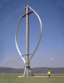
- LayerType 6MW Floating Wind.png
- LayerType No protection against fishing.png
- Layer Sensitive seabed habitats.png
- Layer AIS Total Shipping Intensity.png
- Layer Telecom Cables.png
- LayerType 50MW.png
- Layer Harbours Area.png
- Image is needed male.svg
- Wikimedia-logo.svg
- Layer Oil and Gas Terminals .png
- LayerType 460MW.png
- Layer Military Areas.png
- Layer Protection Nephrops Fleet.png
- Information icon4.svg
- Layer Sandeel.png
- LayerType 100 m.png
- Layer Significant Marine Areas (EBSA).png
- Layer Large Fish Indicator.png
- LayerType No scallops fishing.png
- Layer Tidal Farms.png
- Layer Fisheries Closure.png
- Layer Protection Passive Demersal.png
- Layer Wave Farms.png
- Layer Scuba Diving.png
- LayerType No seine fishing.png
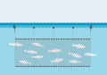
- Layer Protection Pelagic.png
- LayerType 10.000MW.png
- Abbey Rd Studios.jpg
- LayerType Poor.png
- Layer Sea Angling from Boats.png
- LayerType Yellow.png
- Layer Cables (non-editable).png
- Layer Wind Speed.png
- LayerType 200 m.png
- Layer Cod Fisheries Closure.png
- LayerType Bad.png
- Layer Protection Pots and Creels.png
- LayerType Unused.png
- Layer Bird Watching.png
- No such image
- Layer Rowing.png
- Layer Sea Angling from Shore.png
- Layer Cables Other.png
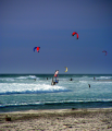
- Layer Wind Surfing.png
- Layer Populated Places.png
- Bilbao.svg
- LayerType 2025.png
- Layer Fishing Intensity.png
- Layer Natura 2000.png
- Layer Shipping Intensity Total.png
- Layer Birds.png
- LayerType No demersal fishing.png


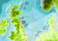
.png)


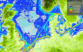
.png)


.png)

 Co-funded by the European Union.
.png)
.png)