About the MSP Challenge 2050
The Marine Spatial Planning (MSP) Challenge 2050 is a computer supported simulation-game that gives maritime spatial planners insight in the diverse challenges of sustainable planning of human activities in the marine and coastal ecosystem.
Marine Spatial Planning
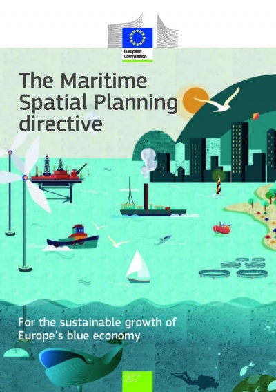
The 2014 EU directive on Maritime Spatial Planning (MSP) lays down obligations for the EU member states to establish a maritime planning process, resulting in a maritime spatial plan by 2021. The main requirements for this implementation are:
- Integrated planning, of all spatial uses and possible conflicts
- Evidence-based, best available knowledge
- Eco-system-based, e.g., monitoring of the cumulative impact of human activities on the ecology
- Transboundary, consultation and co-ordination at sea basin level
- Information of the general public and consultation of all relevant stakeholders.
The MSP Challenge uses game technology / game techniques to moderate these MSP requirements.
- Hundreds of real data and planning layers that can be used to analyse conflicts.
- Best available Geo Information obtained from open source data as well as from regional maritime data proprietors, such as IMO, Helcom and Marine Scotland.
- Links with ecological and foodweb models (Ecopath) Shipping and Energy simulators.
- Sea basins playground to accomodate transboundary co-operation
- Useful for stakeholder engagement through motivation, awareness raising, education and learning, collaborative design, scenario analysis and more.
Create a plan
Basic Editing
This page was last edited on 31 March 2021, at 09:20. Content is available under GPLv3 unless otherwise noted.

 Co-funded by the European Union.